
Travels
Burma
Shwedagon Paya, Yangon
“Then a golden mystery rose up on the horizon, a beautiful, glittering wonder that blazed in the sun, of a shape that was neither a Muslim dome nor the spire of a Hindu temple. “That is the old Shwedagon,” said my travelling companion. The golden dome said: “This is Burma, and it will be unlike any land you may have known.” Rudyard Kipling, Letters from the East (1898). Myanmar covers an area of 671000 km2 and lies between Laos and Thailand to the east and Bangladesh to the west, with India and China on its northern border. The Bay of Bengal and the Andaman Sea mark the southern limit of the country.
Myanmar has always been a country lacerated by continual internal conflicts, with a consequent excess of dictators, rebels, guerrillas and revolutionaries. Even today it is governed by a regime of socialist military men, who little by little have given the people a semblance of greater freedom, releasing the Nobel Peace Prize laureate Aung San Suu Kyi and many other dissidents from house arrest.
Today it is possible to visit the country with a 28-day permit, enough to gain a complete and rich picture of the culture of this extraordinary country. Until a few years ago, in fact, the tourist permit lasted only seven days. I can guarantee that since then the big cities have undergone considerable transformations, while most of the country is still completely free of all contamination by Western technology.
There is much to visit in Myanmar: the astonishing Shwedagon Paya in Yangon; Mandalay, the country's last capital, lying on the mighty Ayeyarwady River; the ancient and monumental capitals of Ava, Amarapura and Sagaing; the imposing zedi of Mingun. The spectacular valley of the temples of Bagan: no place in the world can equal in beauty its 40 km² of land dotted with thousands upon thousands of temples. Wherever you look there are stupas and temples.
Only a few religious architectural complexes can compete with such beauty, such as Khajuraho in India, Palenque in Mexico, Tikal in Guatemala and Angkor in Cambodia. This unique country, unequalled in South-East Asia, has so much to offer the traveller.
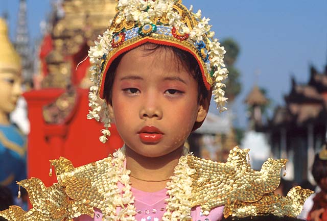
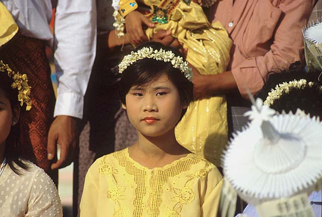
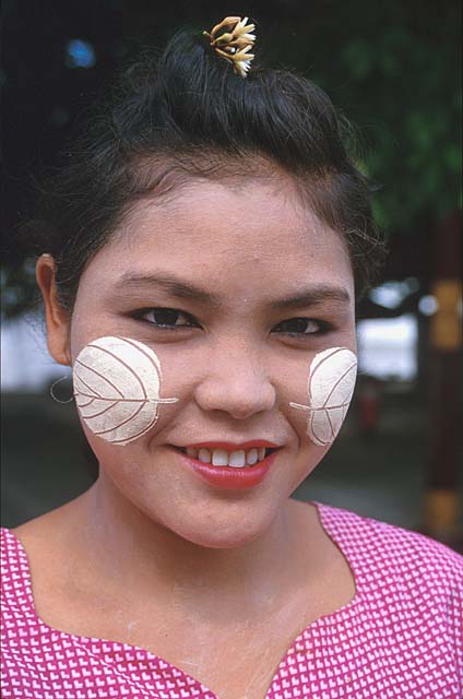
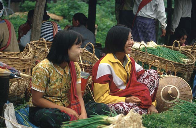
The people are the real resource of Myanmar, sociable, helpful and always ready to give you a smile. This will remain indelibly in my memory, taking you back to the images of the children, the women and the men, always smiling.
Festivities inside the immense Shwedagon Paya at Yangon
Streams of children everywhere
To Buddhists the Shwedagon Paya is the most sacred place in the whole of the country and they hope to visit it at least once in their lives
Legend has it that eight hairs of the Buddha are kept inside the imposing zedi
The powerful zedi is none other than one of the many constructions that form the enormous religious complex of Shwedagon
It is lovely to wander around looking at the various temples, the pavilions, the images of the Buddha, the bells, the stupas; it is a place where, besides looking, one feels and finds sensations at every turn


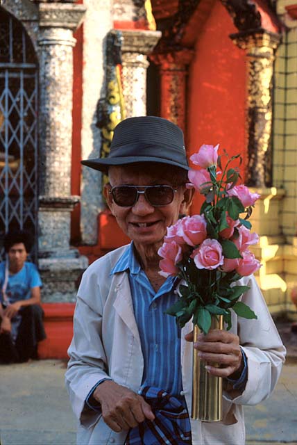
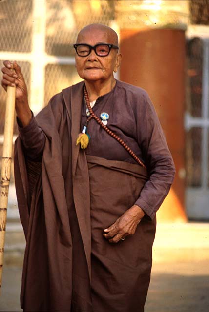
Faces and daily life
An old man offering flowers
An old woman deep in thought
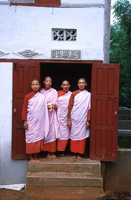
A nun giving lessons


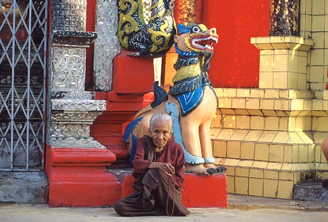
Devotion in the temples
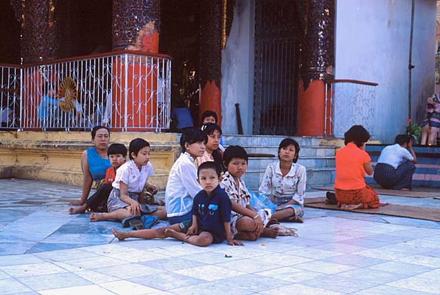
Groups of people relaxing, chatting and praying serenely everywhere
A worshipper absorbed in prayer before the statue of the Buddha
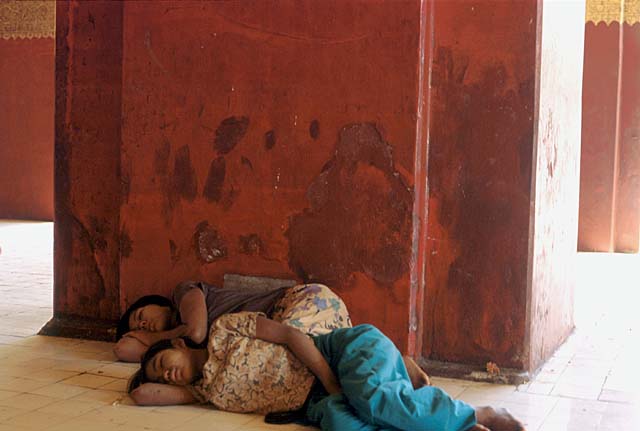
Two girls sheltering from the heat, asleep inside a temple
Monks relaxing at the temple
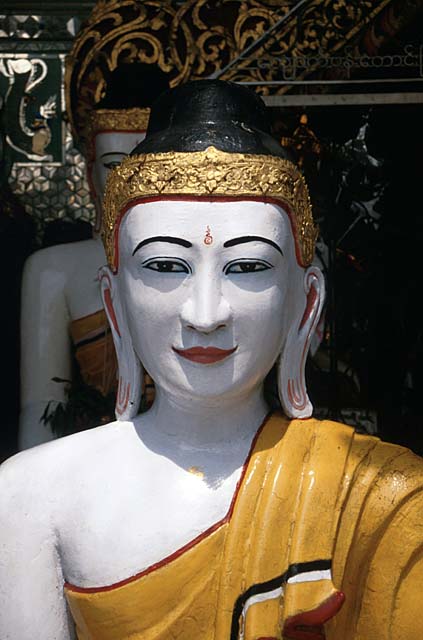
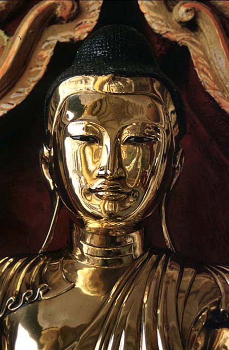
How sweet is the gaze of Buddha, thousands of offerings are made by the faithful, and all around sticks of incense perfume the air



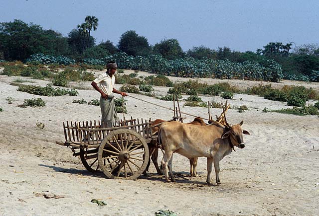
Work in the fields
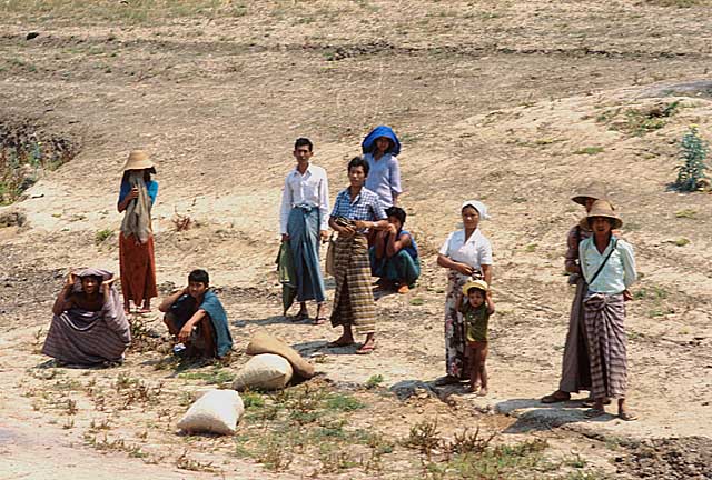
These workers were so engrossed in their work that they did not realise that I was taking their photograph, frightened, they ran to cover themselves and hide



Mount Popa and the Bagan valley
I climbed to the top of Mount Popa at dawn; mist still surrounded this solitary peak, called the Olympus of Myanmar because it is the home of the most important and powerful nats. The climb is very steep and tiring, and along the path you meet a multitude of pilgrims and monks. When I reached the top, it was not the view that rewarded me for my effort but the grace and sweetness of this scene: how sweet is the child holding the bowl.
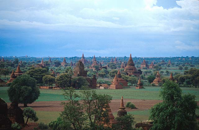
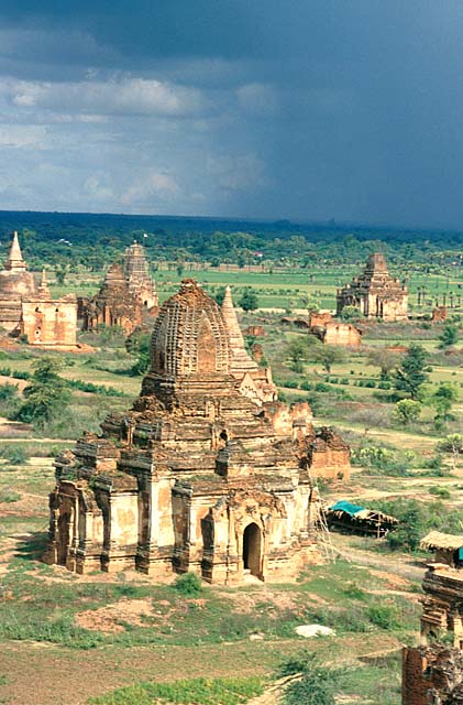
The Valley of Bagan offers the most amazing view of the whole country: wherever you look you will see ruins of temples. Religious fervour over two and a half centuries created an incredible number of temples in this valley. The city entered its period of glory in 1057 A.D.. with Anawratha and continued its splendour until 1287 when it was destroyed by Kublai Khan and his Mongols.
There are many images of the marvellous Valley of the Temples of Bagan, so silent and sun-drenched: I want to remember it with the violent downpour hanging threateningly over the top of the Shwesandaw Paya. HP
Suddenly the air turned humid and silence fell all around, my guide urged me to take shelter. I enjoyed that storm, unique in its violence and noise, in this valley shaken by violent earthquakes, the last in 1975, from the top of the temple, in the company of a few Burmese, surprised and amused by my behaviour




Faces and markets




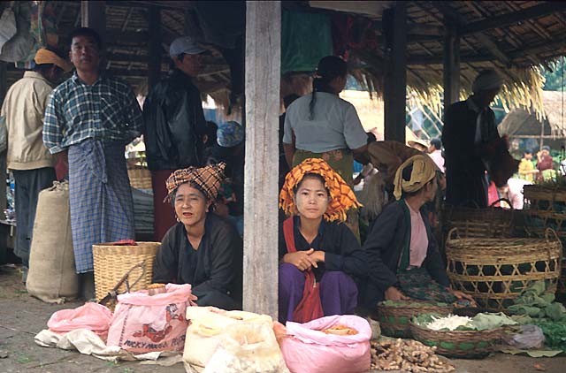
Village portraits

Botswana
Elephants at Chobe National Park

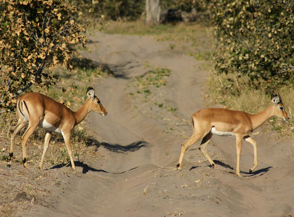
Impala
Hippopotamuses

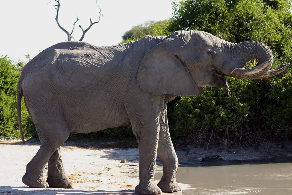
African Elephant
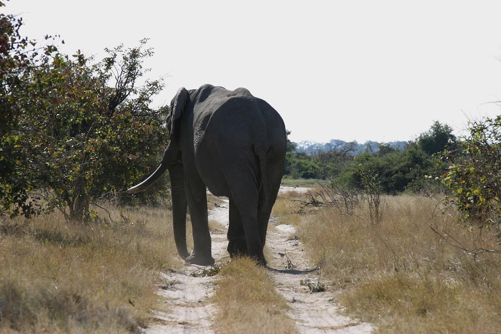
African Elephant
Victoria Falls

Victoria Falls

Victoria Falls

Victoria Falls

Victoria Falls

Victoria Falls

Victoria Falls
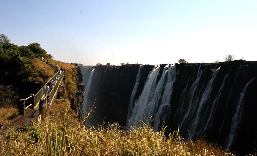
Victoria Falls

Chobe National Park
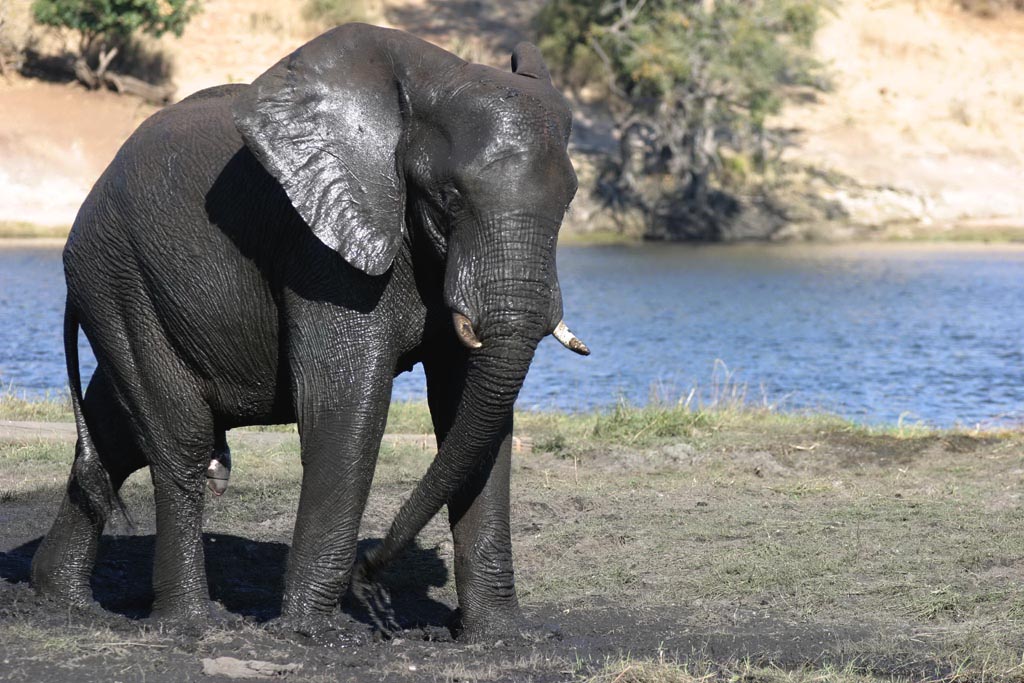
Elephants at Chobe NP
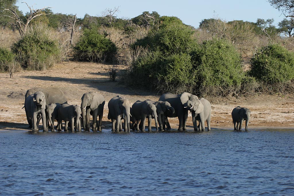
Elephants at Chobe NP

Elephants at Chobe NP

Elephants at Chobe NP
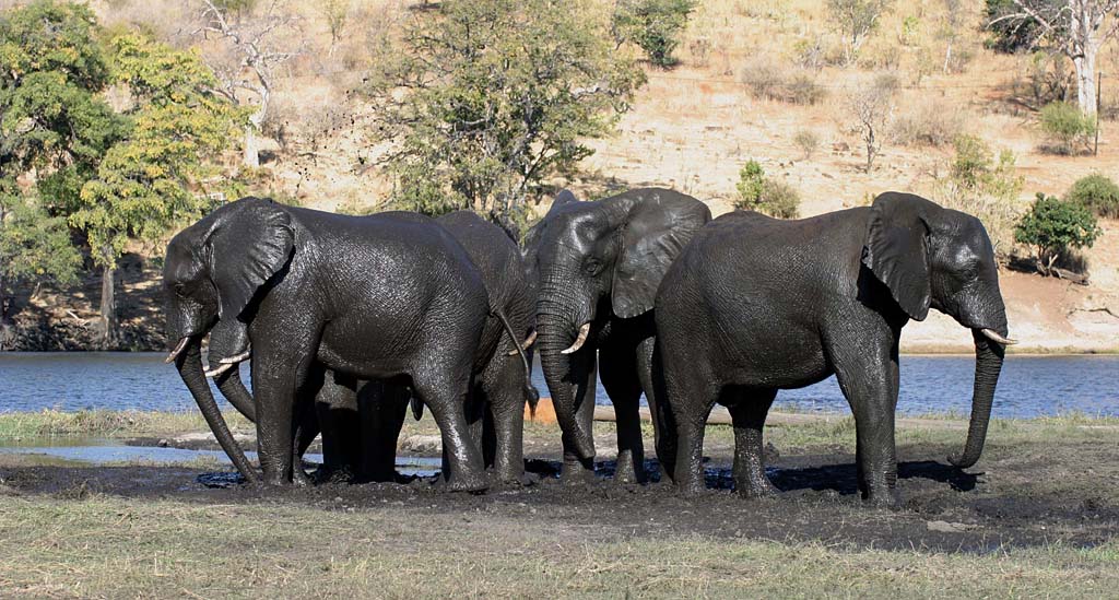
Elephants at Chobe NP

Elephants at Chobe NP
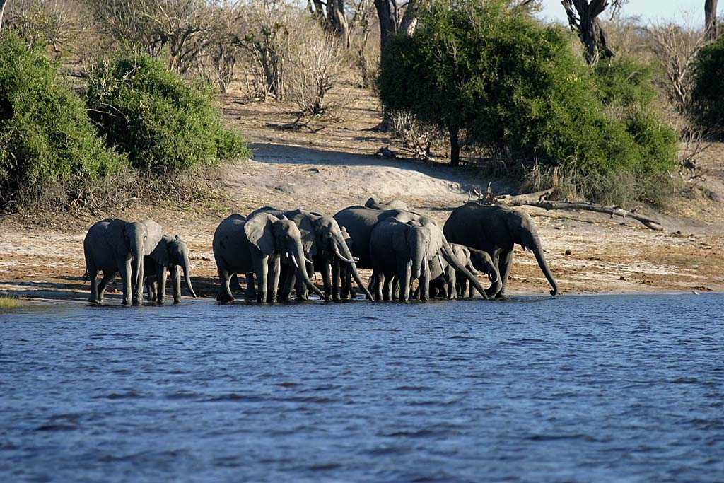
Hippopotamuses at Chobe NP
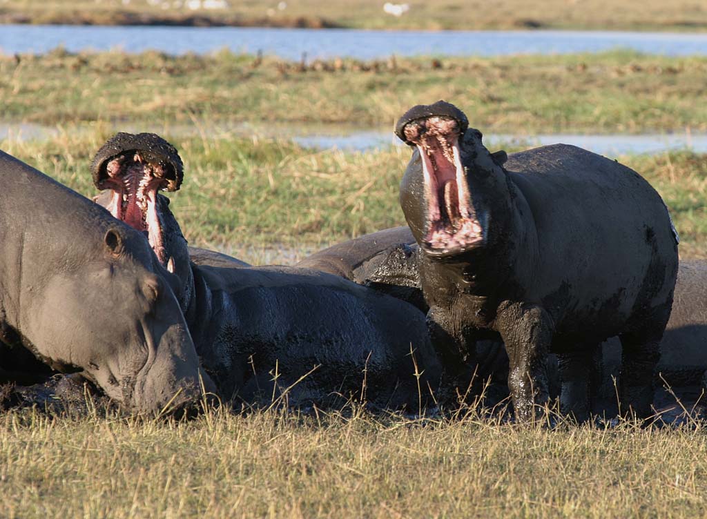
Sunset at Chobe NP
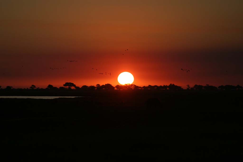
Sunset at Chobe NP
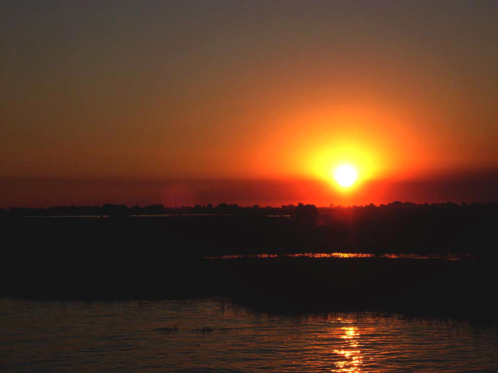
Adult impala

Hippopotamuses

Hippopotamuses
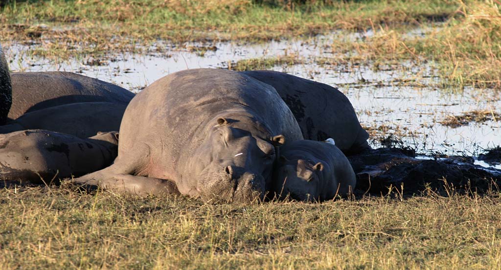
Sunset

Hippopotamuses
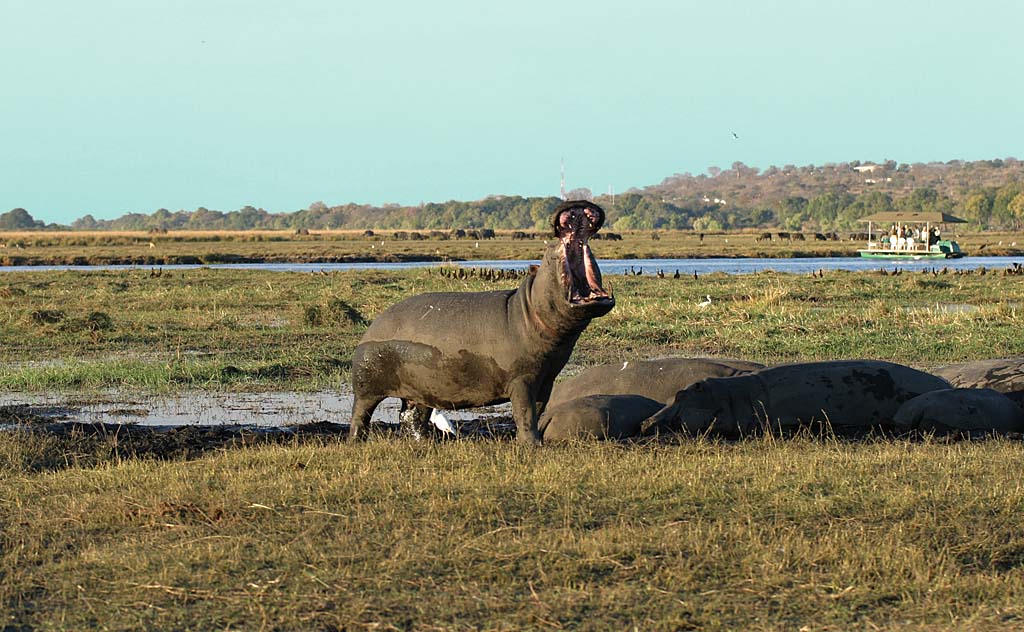
Impala in the Savuti Region
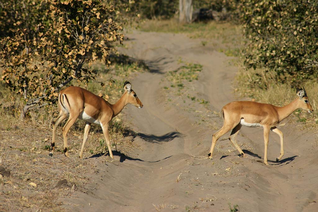
Hippopotamuses
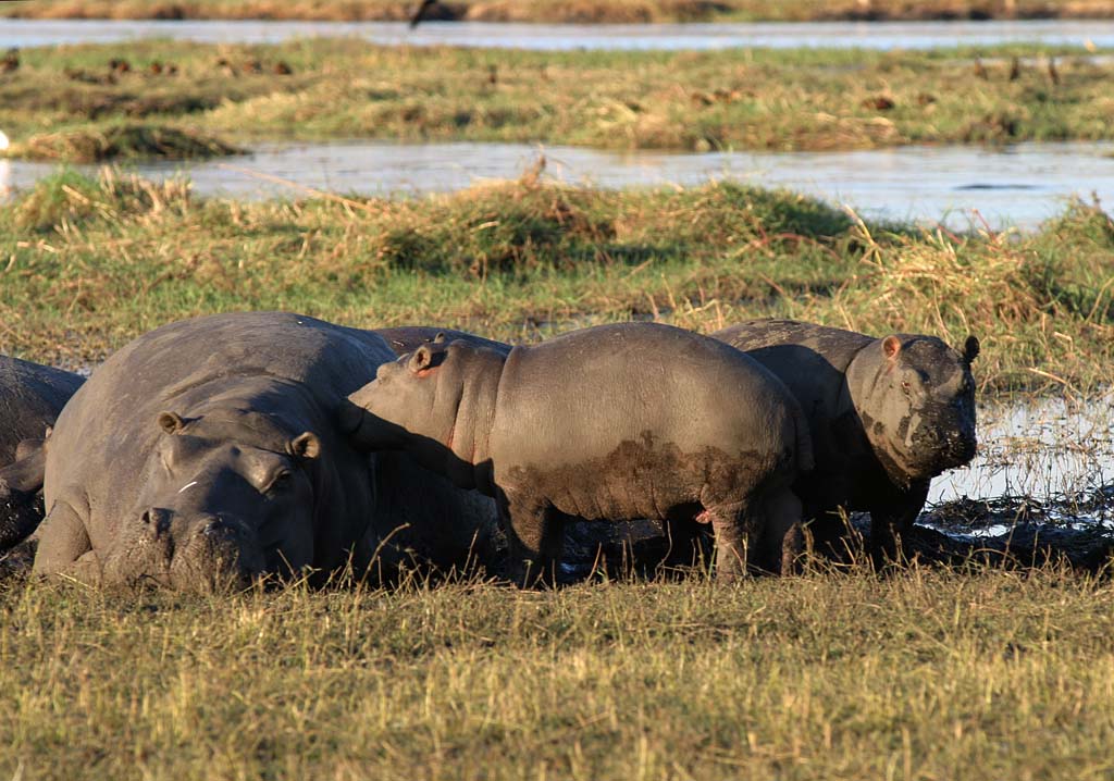
The Savuti Region

The Savuti Region

The Savuti Region
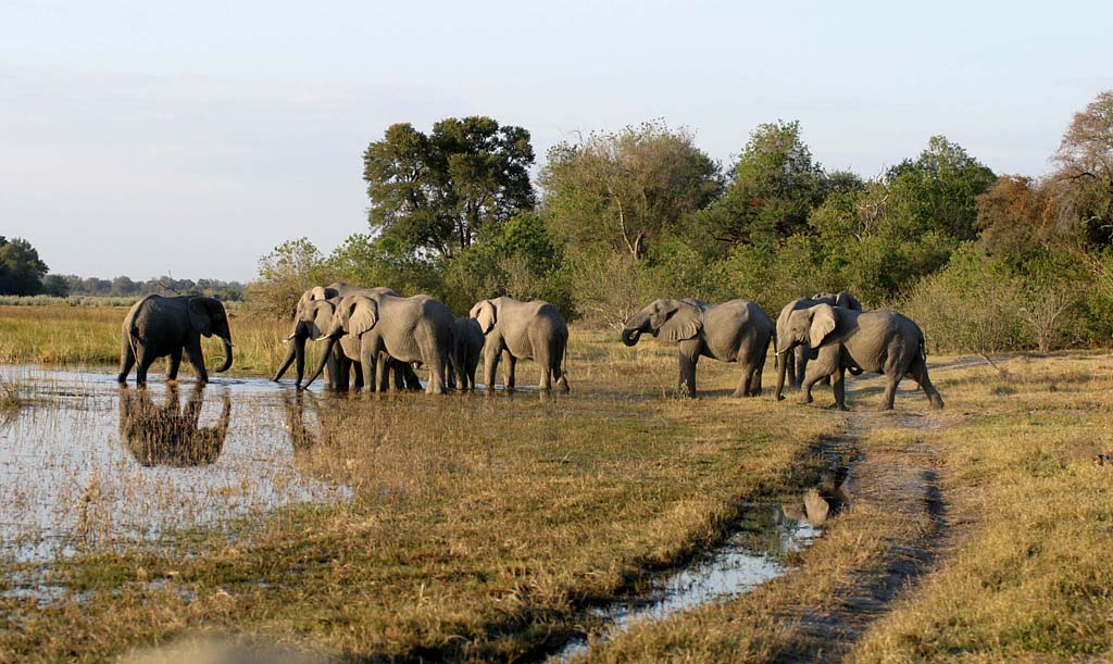
The Savuti Region
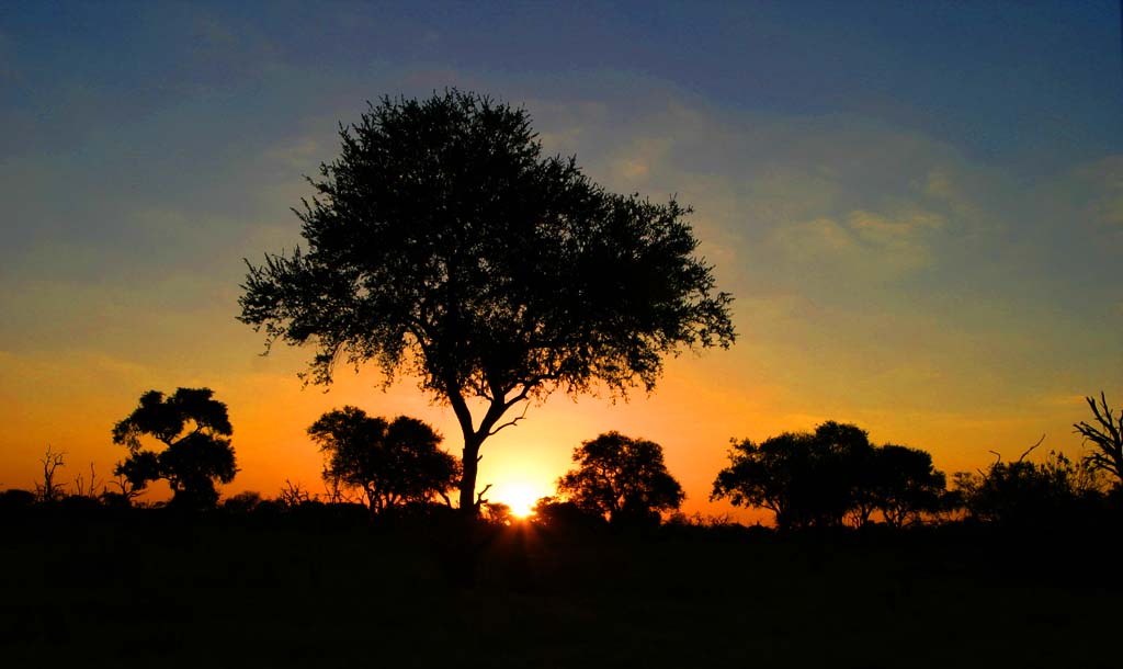
Hippopotamuses, Savuti Region

Lion, Savuti Region

Lion, Savuti Region
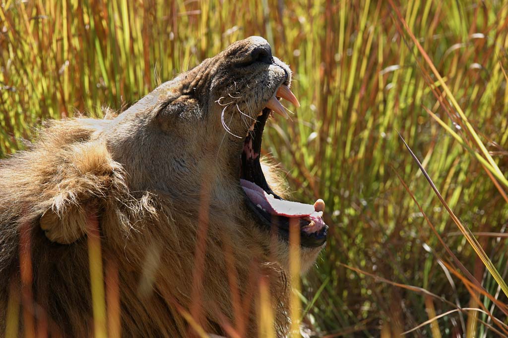
Lion, Savuti Region
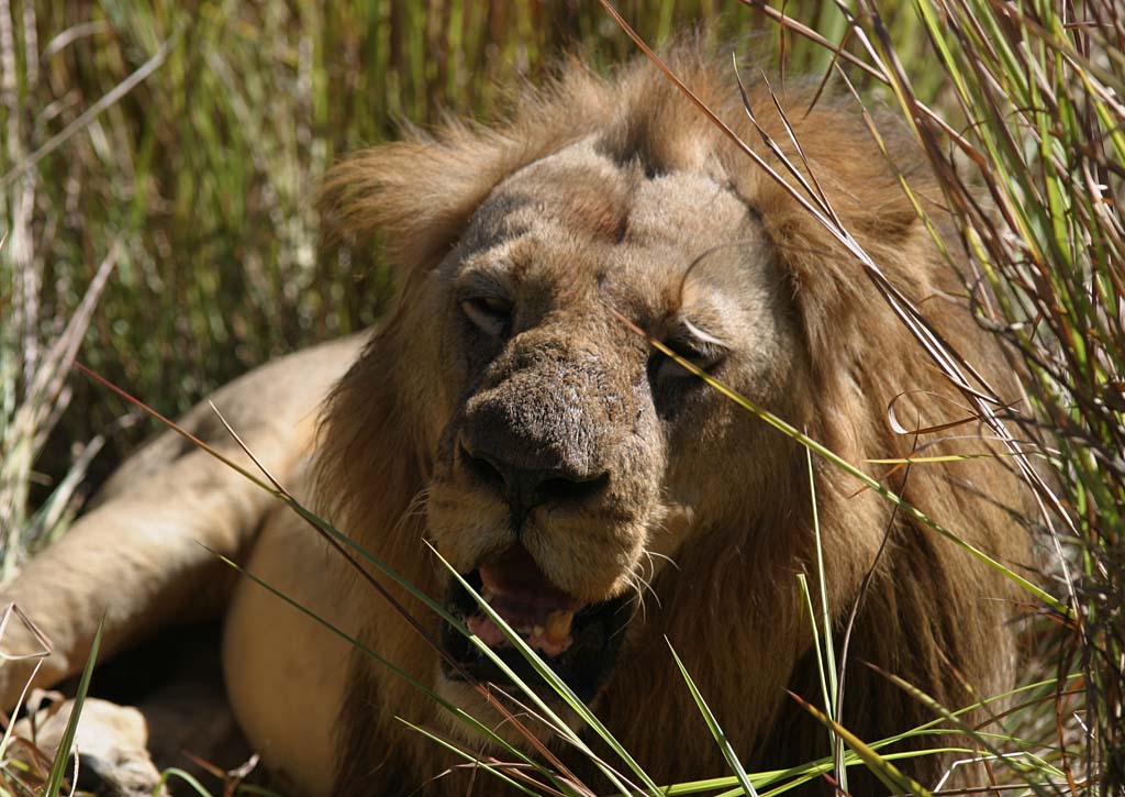
The Savuti Region
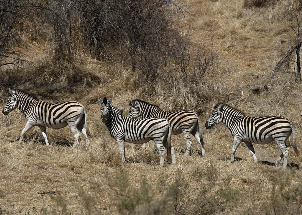
The Savuti Region

Leone

African Elephants

African Elephants

Moremi Game Reserve

Moremi Game Reserve

Moremi Game Reserve

Moremi Game Reserve
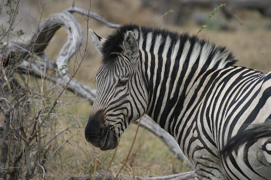
Elephants, Moremi Game Reserve

Elephants, Moremi Game Reserve

Elephants, Moremi Game Reserve

Zebra
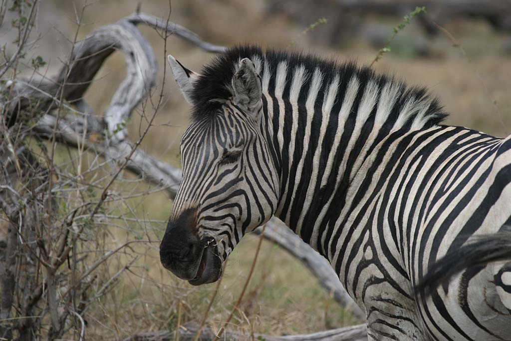
Zebra
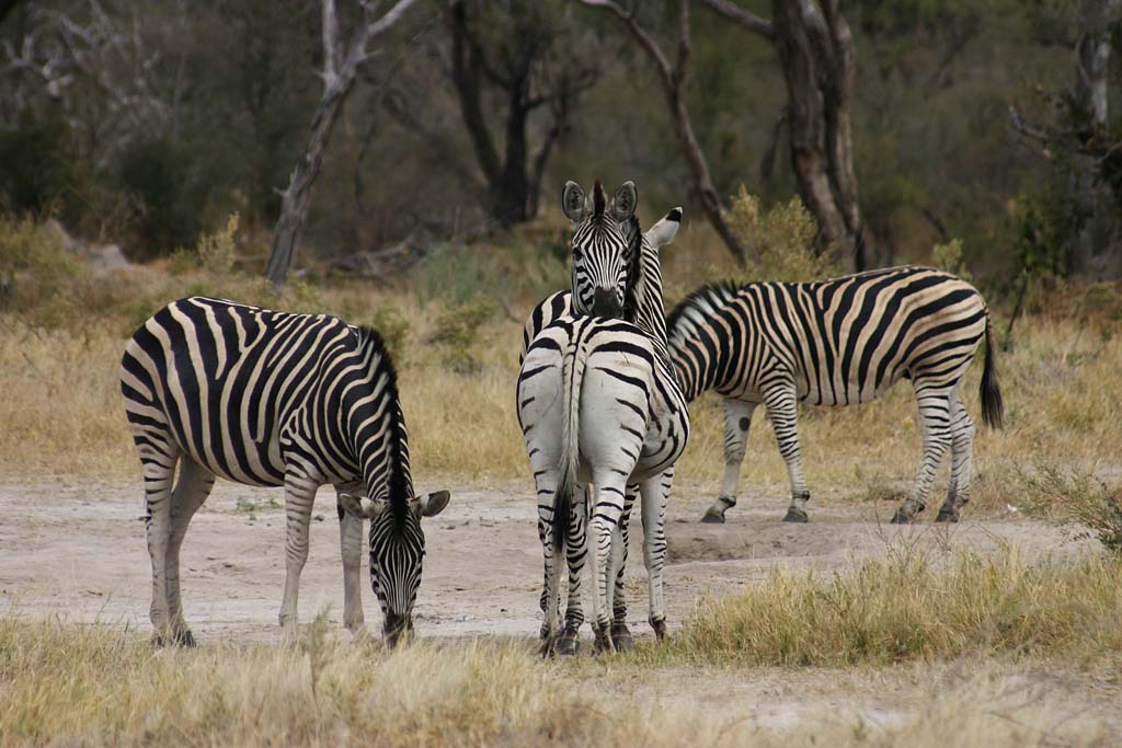
Okavango Delta
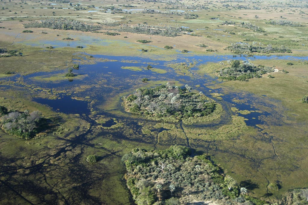
Okavango Delta

Okavango Delta

Okavango Delta

Okavango Delta

Okavango Delta
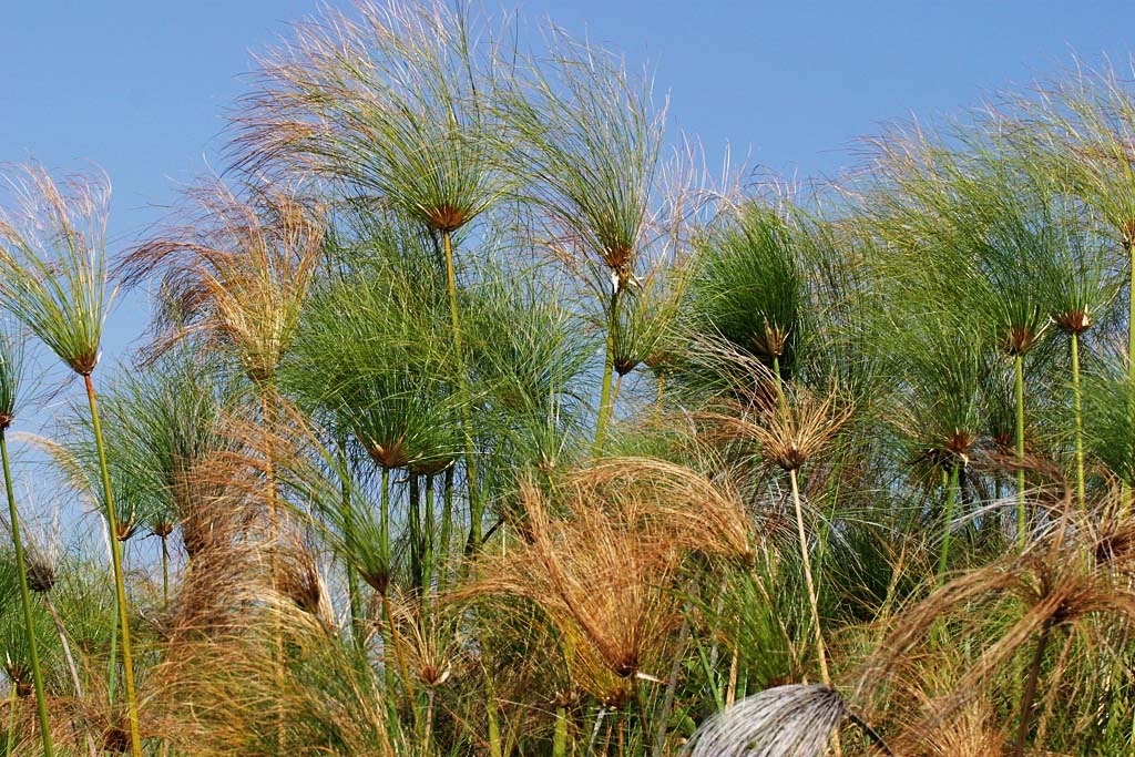
Okavango Delta

Okavango Delta

Okavango Delta

Makgadikgadi Pans National Park

African landscape
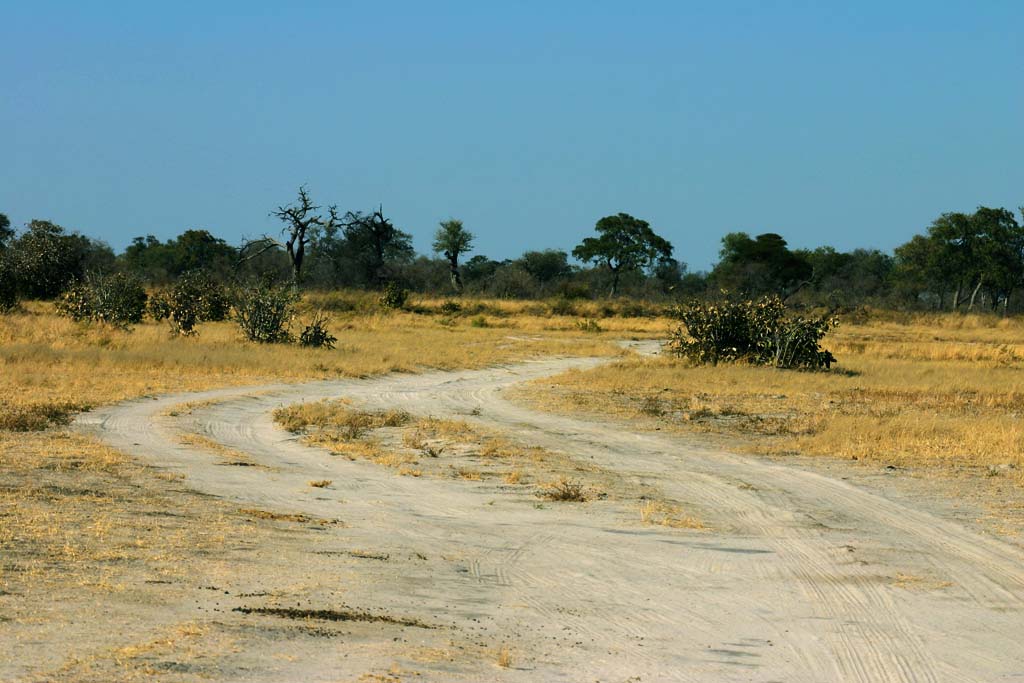
Baines' Baobab

Makgadikgadi Pans National Park

Makgadikgadi Pans National Park

Baines' Baobab

Baine Thomas Baobab

Makgadikgadi Pans National Park

Makgadikgadi Pans National Park

Baobab

Baobab at Kubu Island

Giant baobab at Kubu Island
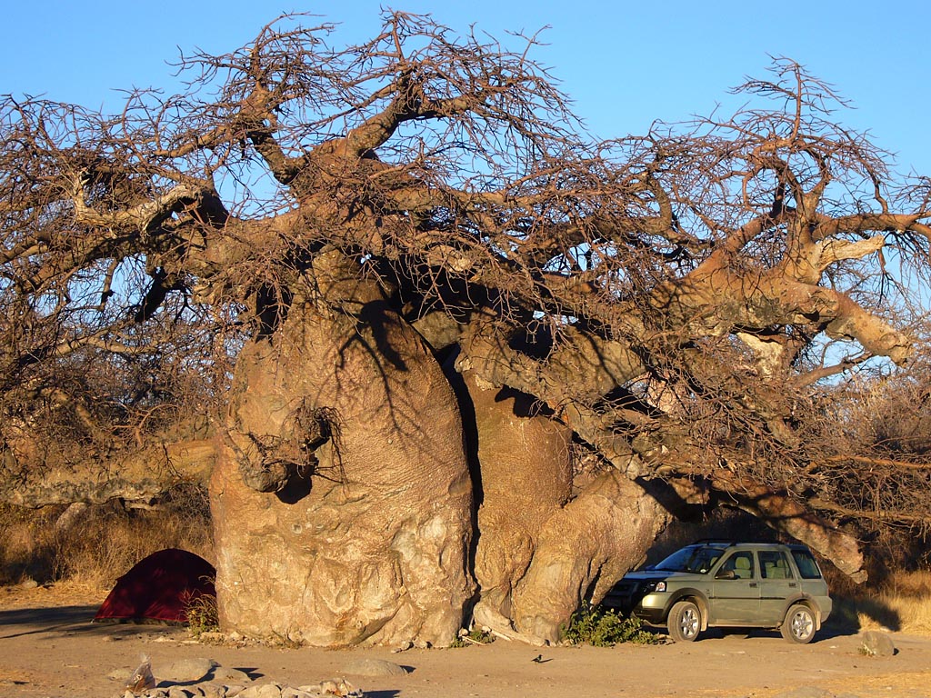
Great Baobab at Kubu Island

Baobab at Kubu Island
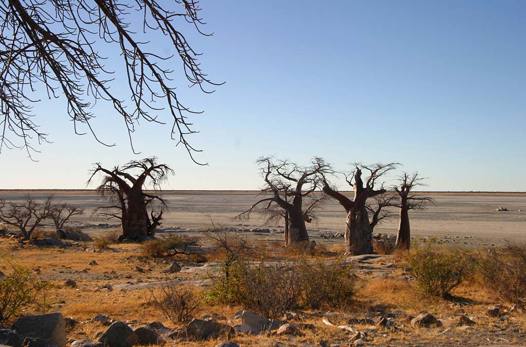
Kubu Island
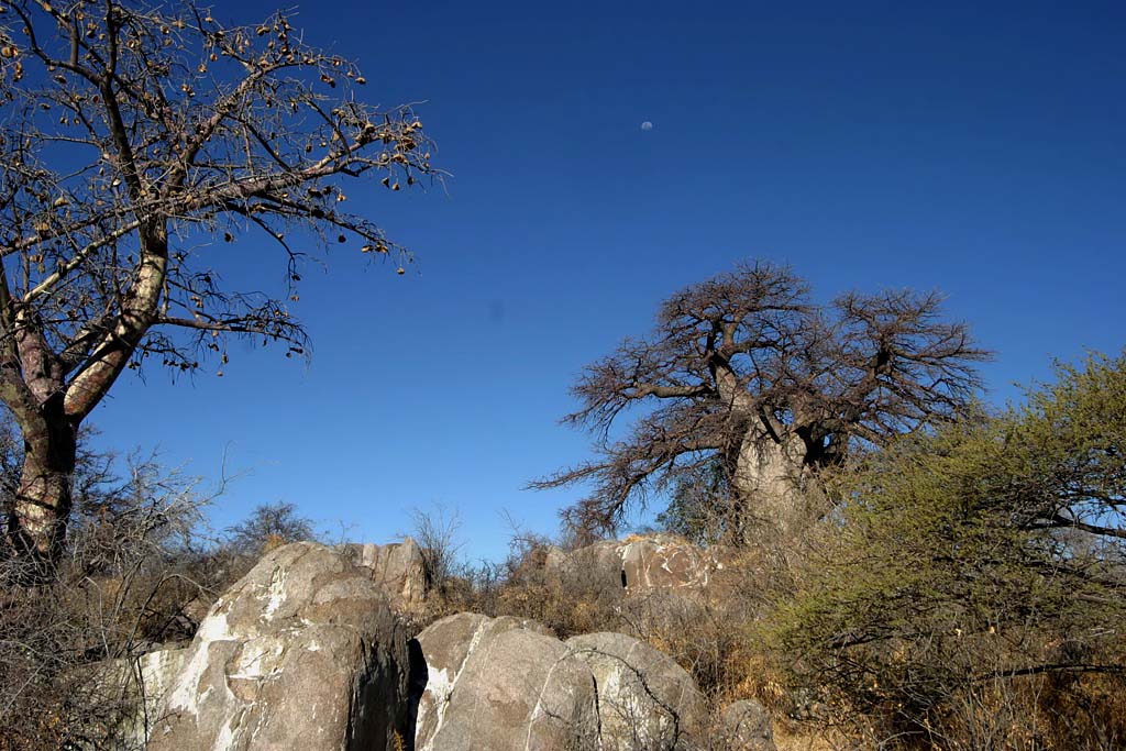
Kubu Island at Sunset
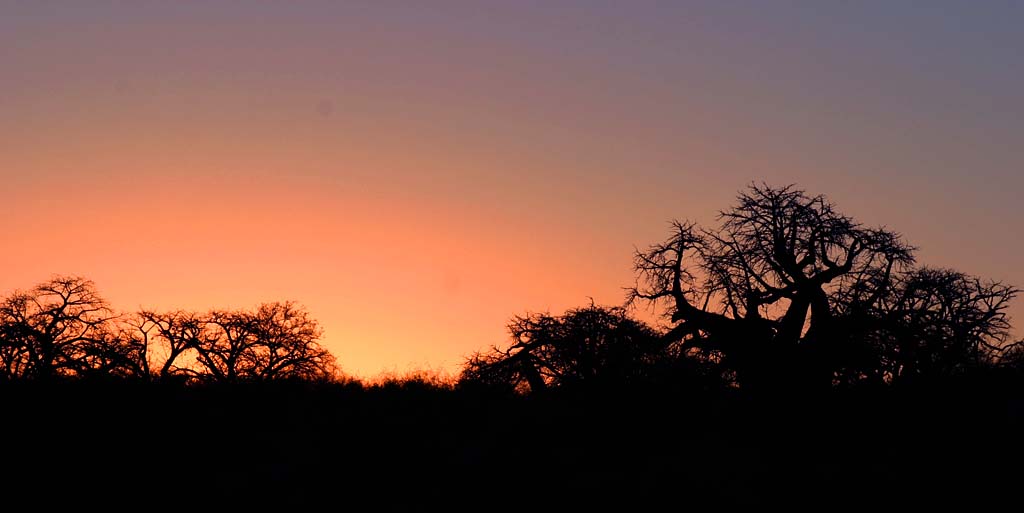
Kubu Island at Sunset

Kubu Island at Sunset

Kubu Island and the pan
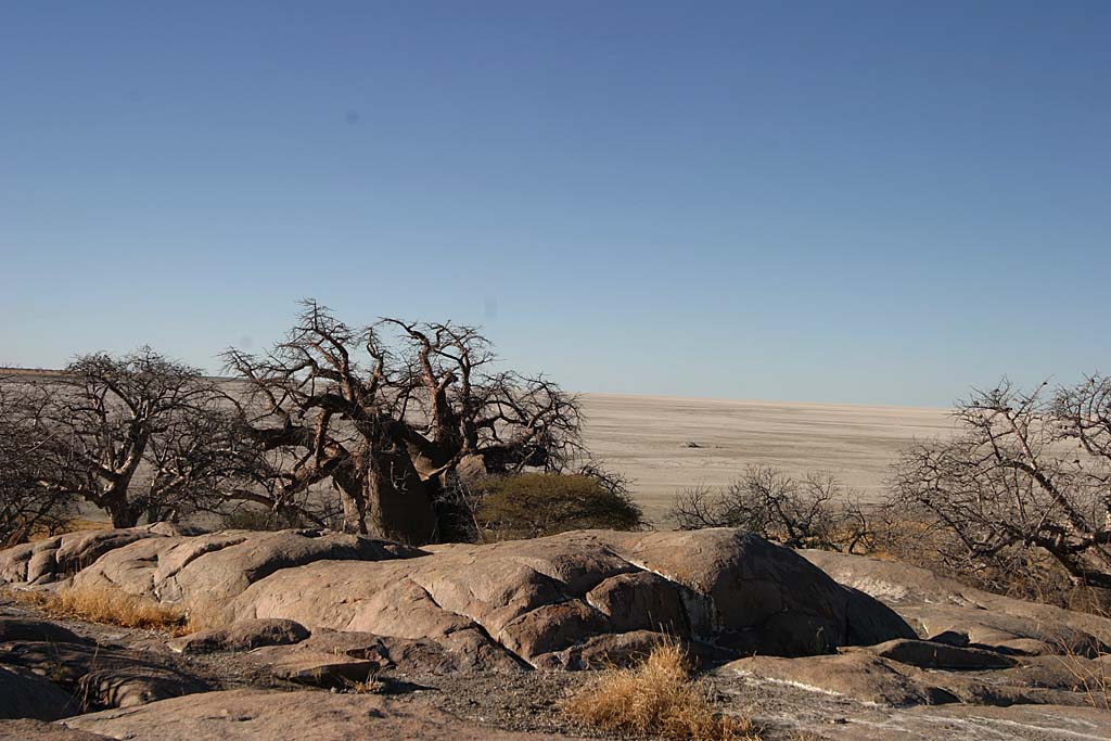
Kubu Island, lunar landscape

Greater Kudu and Springbok

Baobab

Baobab fruit

Mighty Baobabs
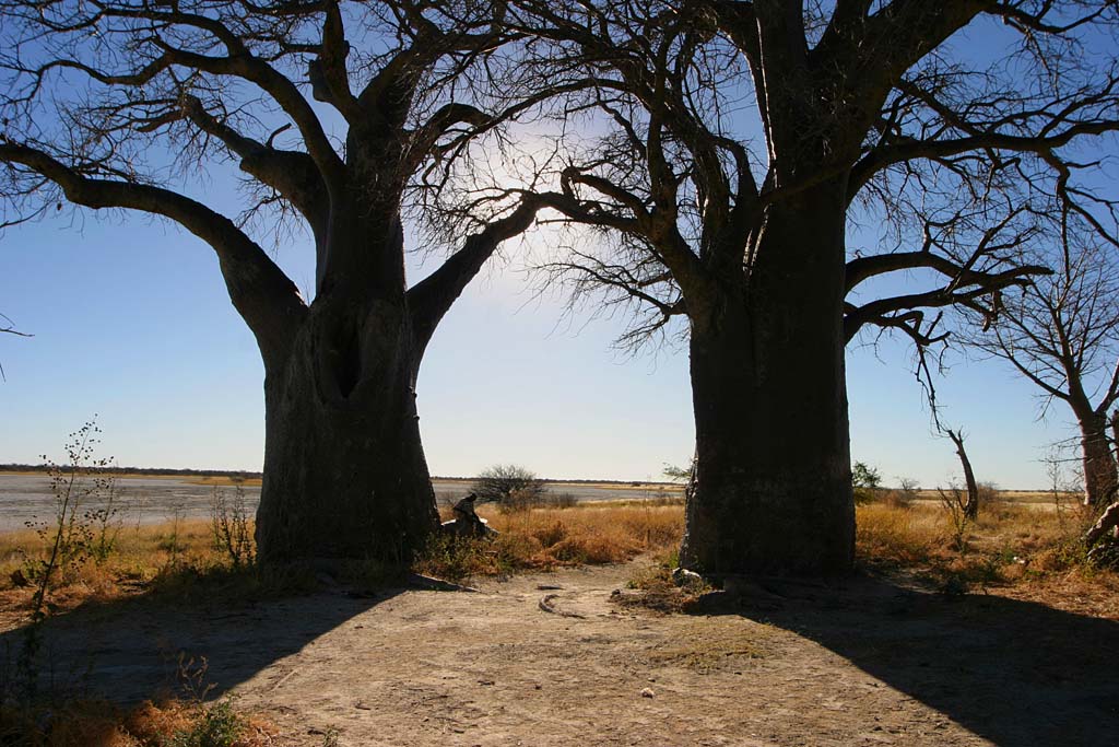
Moremi Game Reserve

Maya
The ruins of Palenque
The Ruta Maya (the Maya Route) is a project created to encourage tourism for the benefit of the Maya people and their land. The creator of this worthy project is the former director of National Geographic, Wilbur E. Garret. This project has been joined by the governments of Mexico, Guatemala, Belize, Honduras and Salvador, the whole geographical area where the ancient Maya culture developed.
Grandiose landscapes, tropical forests, deserts, endless beaches, immense archaeological sites. But also a metropolis of 20 million inhabitants which, despite its chaotic traffic and apparent disorder, preserves the charm of countless pre-Columbian buildings, the splendid murals of Diego Rivera and the beautiful Museum of Anthropology. Mexico City is the obligatory starting point of any route for understanding the history of this extraordinary people.
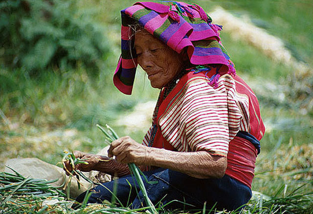
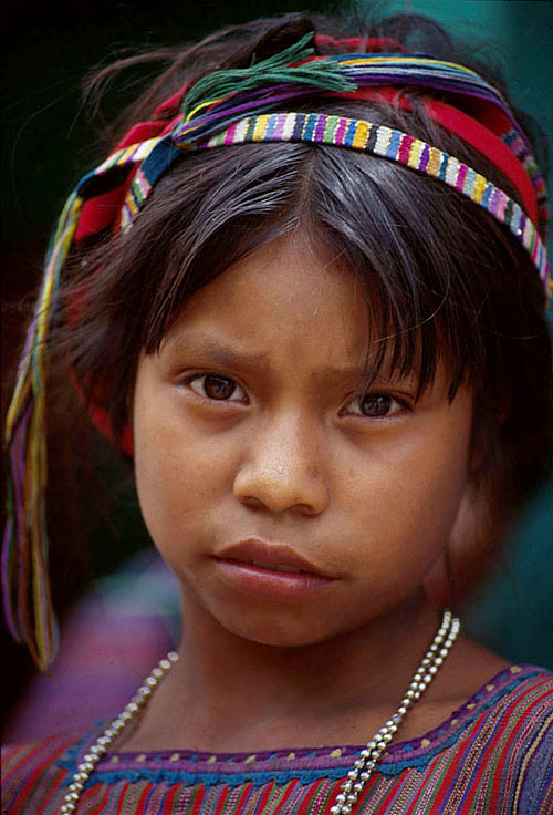
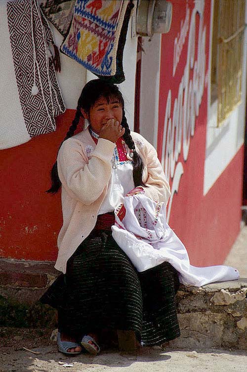
Guatemala, Belize and Mexico were the cradle of one of the most ancient civilisations, that of the Maya. Whoever comes to this land wants to see the pyramids, the temples, the great stelae covered with inscriptions and the wide courts for the ball game. But Maya culture is not made up only of memories of the past. Travelling across the whole country, one realises how much this people is still alive: they no longer build pyramids and temples, but they are with you in everyday life. They are at your side when you go to a restaurant, when you ask for information, when you buy goods at the market, and, after seeing the petroglyphs depicting the faces of the ancient Maya, it is disconcerting to notice their resemblance to the faces met during the day. Today as many as 2 million descendants of the Maya live on their ancient land. Enchanted places, where visiting an archaeological site is a unique moment to immerse oneself in an ancient dimension so far removed from us and from our logic. Places where children still play at skipping rope, have fun running after an empty can rolling down a sloping street, and give you a smile that is a mixture of joy and sadness at the same time: more than all the temples, the beaches, the pyramids and the markets, what strikes you is the fierce, proud gaze of this people, who were once great and still have the strength to show it, despite all the difficulties.

Ruta Maya
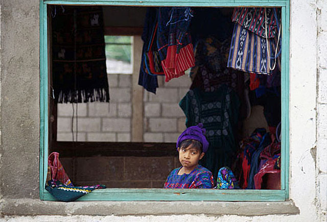
Ruta Maya
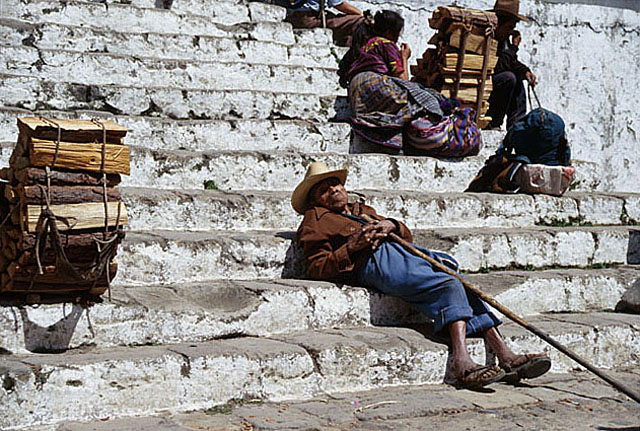
Chiapas: San Cristobal de las Casas

Ruta Maya

Ruta Maya
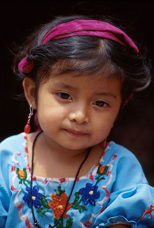
Ruta Maya

Ruta Maya
Ruta Maya
Ruta Maya

Ruta Maya

Ruta Maya

Ruta Maya

Ruta Maya

Ruta Maya
Ruta Maya

Teotihuacan, pyramid of the moon
Teotihuacan
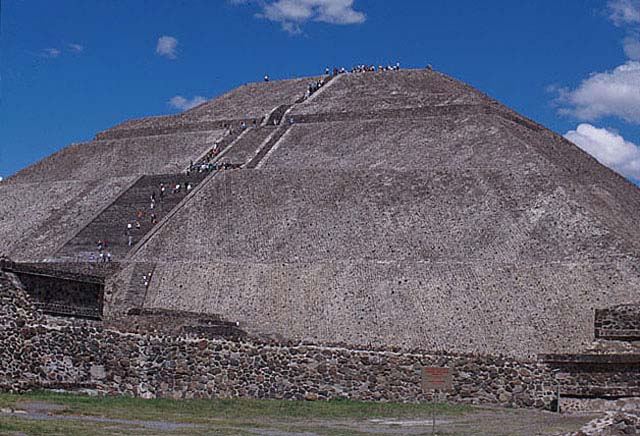
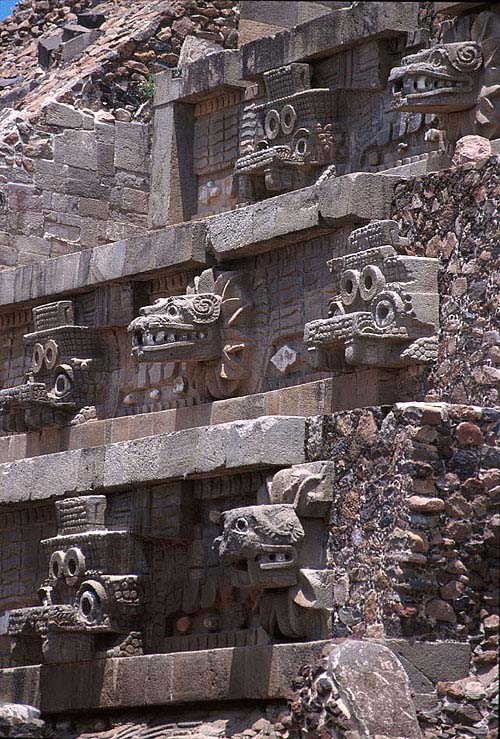
. Just 50 kilometres from Mexico City stands Teotihuacan, called the city of the gods because of the grandeur of its buildings. Famous are the two imposing pyramids of the Moon and the Sun, the latter the third largest in the world after those of Cholula and of Cheops in Egypt. The Pyramid of the Sun was built in 100 AD and rebuilt in 1908, using 3 million tonnes of stone without iron tools, draught animals, let alone the wheel. From the top there is a surprising view of the entire archaeological complex, which extends along the Avenue of the Dead, from the Pyramid of the Sun to the Ciudadela, decorated with heads of the feathered serpent, Quetzalcoatl.
Uxmal, together with Chichen Itza, is the most visited archaeological zone in Mexico. Set in the Puuc hills, which owe their name to the archaeological remains of this area dating back to the 6th century BC, Uxmal is the oldest existing Maya centre. Describing the Pyramid of the Magician, the American explorer J.L. Stephens wrote in his book “Incidents of Travel in Central America, Chiapas and Yucatan”: - I was there at the entrance as the sun was setting and the buildings cast prodigiously broad shadows, darkening the terraces on which they stood, offering a spectacle that had the spell of enchantment. - The Governor's Palace is unanimously considered the most beautiful structure of the entire archaeological complex of Uxmal.
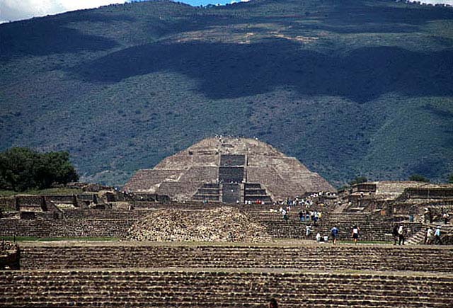
Teotihuacan: calzada de los muertos with the pyramid of the sun

Teotihuacan: pyramid of the moon and of the sun

Teotihuacan: pyramid of the sun
Teotihuacan: temple of Quetzalcoatl, detail
Uxmal: detail of the feathered serpent

Uxmal: pyramid of the magician

Uxmal: nunnery quadrangle
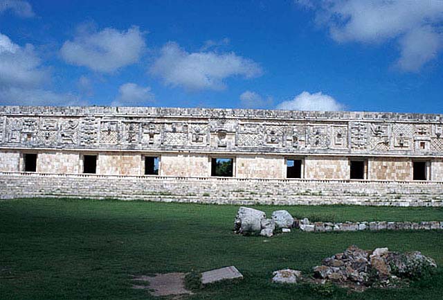
Uxmal: governor's palace

Overall view of the archaeological site of Uxmal
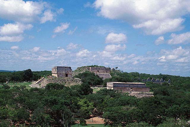
Uxmal: pyramid of the magician

Uxmal: pyramid of the magician

Uxmal: pyramid of the magician

Palenque: grupo de la Cruz
Palenque
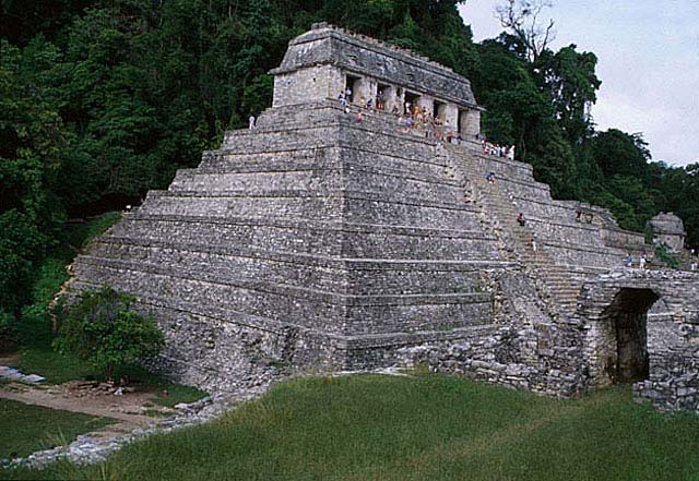
. Deep in the lush jungle of the Chiapas region stands one of the principal Maya religious centres of the Classic period. At its height – from 100 to 900 AD – the site extended over an area of about 35 square kilometres, of which only one has been brought to light. Legend has it that H. Cortes came within just 40 km of the ruins of Palenque without noticing their existence. Other expeditions followed without success. When J.L. Stephens finally reached Palenque in 1837, his was the first true investigation, and it set archaeological research in motion. It is thought that ancient Palenque is made up of at least five hundred buildings, and of these only about ten have been brought to light.
The Temple of the Inscriptions, inside which a crypt was discovered containing the tomb of Pacal, one of the rulers of the site.
Chichen Itza
. Without doubt one of the largest and best preserved archaeological sites in Mexico. Most archaeologists believe that it was first inhabited between the 6th and 10th centuries AD, and the remains of the buildings show the Puuc style; and a second time, from the 10th century onwards, by the Toltecs, who merged their culture with that of the Maya, introducing the cult of Quetzalcoatl, the feathered serpent. The main attraction of the site is El Castello, the oldest temple: it is astonishing to see how, during the spring and autumn equinoxes, light and shadow form a series of triangles on the north side of the staircase, creating the image of a crawling serpent. On 21 March the serpent seems to climb, while on 21 September it seems to descend; this optical illusion lasts about three hours.
Tulum
. The ruins of Tulum are well preserved but are not of particular archaeological importance for scholars; they belong to the Toltec period and represent the only example of a fortified coastal city. The Castello building dominates the whole town and stands out boldly against the crystal-clear blue of the sea, against the green of the palms and the white of the coral sand.

Palenque: el Palacio

Palenque: templo de las Inscripciones
Palenque: templo del Sol

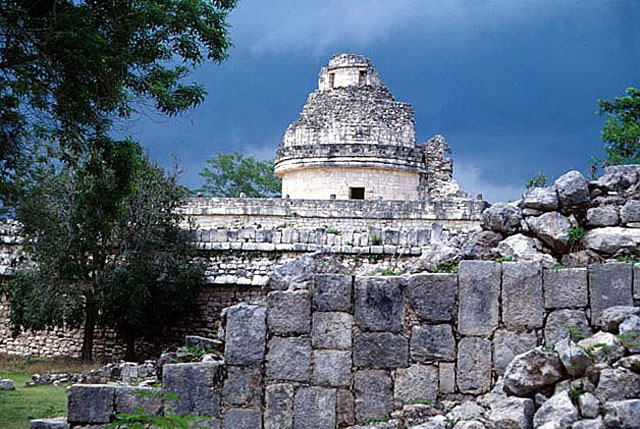
Chinchen Itza: el caracul observatory
Palenque: el Palacio

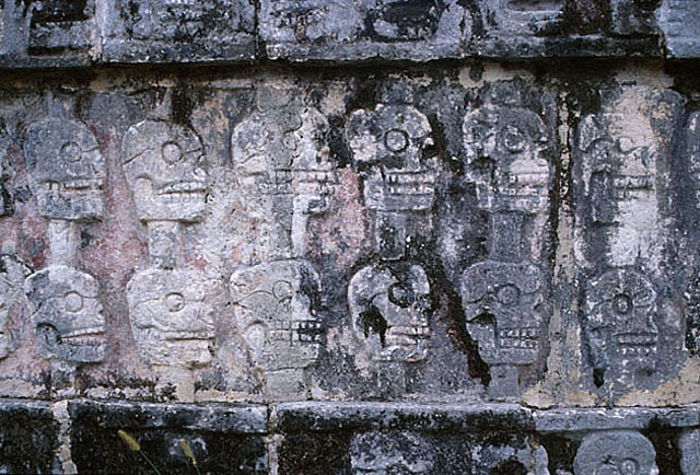
Chichen itza: detail of the temple of skulls, Tzompantii
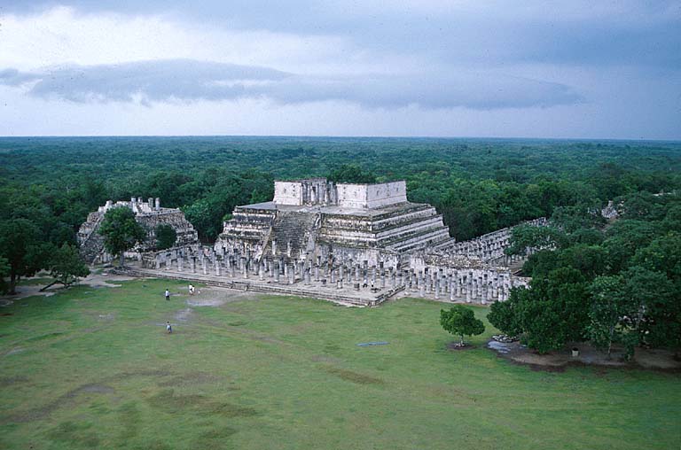
Chichen Itza: temple of the warriors
Chichen Itza: convent and annexe
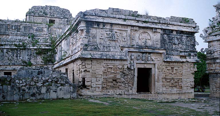
Chichen Itza: el castello, pyramid of Kukulcan

Chichen Itza: detail of the ball court

Chichen Itza: temple of the cha-mool in the group of the thousand columns

Chichen Itza: detail of the god Chac

Tulum: el castello
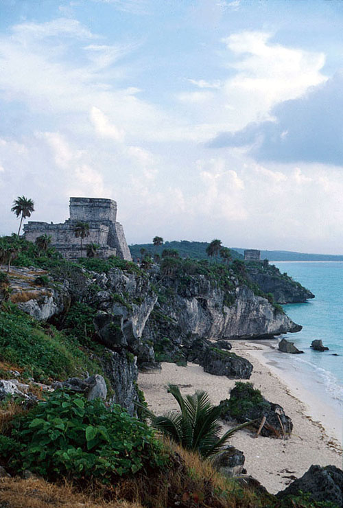
Tulum: el castello
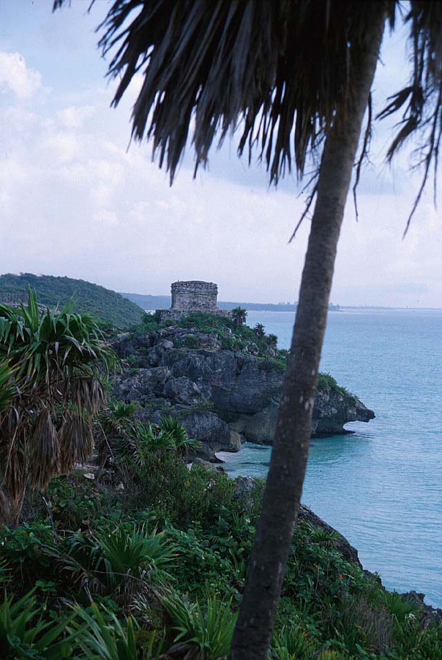
Tikal: view of the temples of Tikal
Tikal
The site lies within the National Park, a reserve of 575 square kilometres containing thousands of ruined buildings. To visit all the most famous buildings you have to walk a good 10 kilometres. But what you will see is almost unrivalled. Steep temples more than 44 metres high rise above the treetops; many of them have been skilfully brought to light and cleared of the vegetation that had engulfed them, while others are still being restored. The atmosphere is different from that of any other archaeological site: the scents and sounds of the jungle offer sensations that can be felt only at Tikal.
Copan
The archaeological site of Copan in Honduras is without doubt one of the most extraordinary discoveries of the Maya civilisation; once again we have J.L. Stephens to thank for the ruins becoming known throughout the world. The sculptures of Copan are unique in the Maya world: one need only think of the Hieroglyphic Stairway, whose 63 carved steps tell the story of the royal family of Copan. The site is also famous for its stelae, enormous finely carved stone parallelepipeds.

Tikal: view of the temples of Tikal

Tikal: great plaza

Tikal: temple V

Copan: detail of a mask
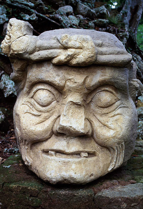
Copan: stela with the figure of a nobleman
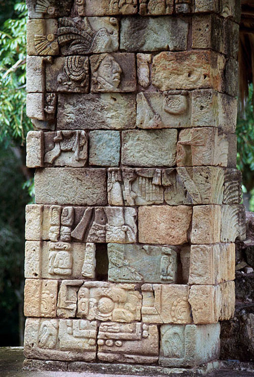
Copan: stela in the great plaza
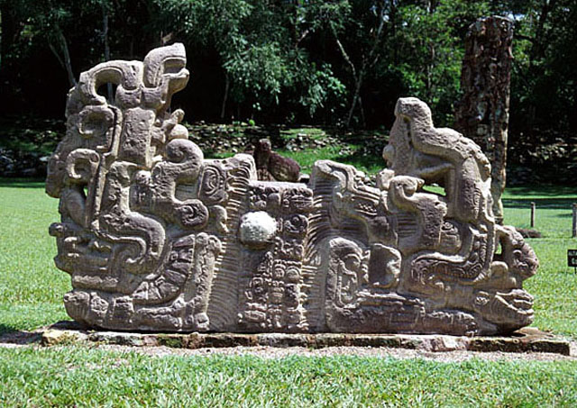
Copan: plaza de las estelas
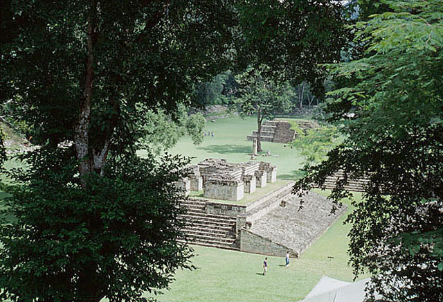
Copan: stela of King Rabbit
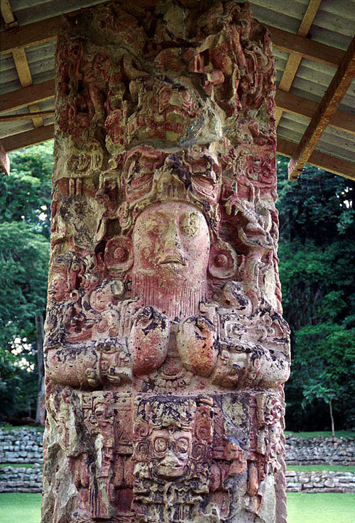
Copan: hieroglyphic stairway

Copan: stela depicting King Rabbit

Antigua Guatemala
Antigua
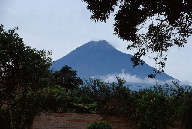
Founded in 1542 by Santiago de los Caballeros and surrounded by three volcanoes, Agua, Fuego and Acatenango, it became one of the most beautiful Spanish cities. Destroyed several times by violent earthquakes in the past (the damage to the monuments can still be seen today), it was declared a World Heritage Site by UNESCO. Walking around Antigua is relaxing: the low houses make the Agua volcano visible from every point in the city. Almost all the Baroque churches have been rebuilt after the devastation of the recent earthquakes. La Merced is the most extraordinary colonial church-convent in the city; inside it there is a fountain considered the largest in Central America.
Lake Atitlan
Surrounded by three volcanoes, the lake fills a collapsed volcanic cone more than 300 metres deep. There are many villages on its shores, home to ethnic minorities who go every day to the town squares to sell their handicrafts. Let yourself be lulled by its waters aboard the boat that will take you to visit the villages of Santa Catarina Palpò, San Antonio Palpò and Santiago Atitlan. So many colours in the markets and in the clothes, so many children intent on catching tourists to sell them souvenirs, but few spontaneous smiles.

Antigua Guatemala: catedral de Santiago

Antigua Guatemala: La Merced, detail

Antigua Guatemala: 5 av. Sur with volcan Agua

Antigua Guatemala: 5 av. Norte

Antigua Guatemala: fountain of La Merced

Antigua Guatemala: dome of the convento de la Merced

Antigua Guatemala: volcan Acatenango
Lake Atitlan with volcan Atitlan and Panajachel
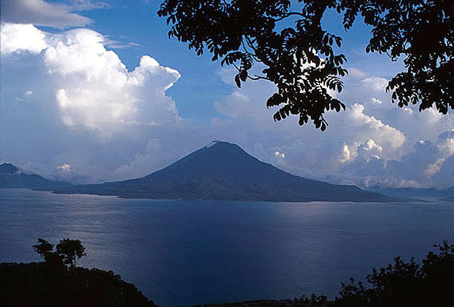
Lake Atitlan with volcan Atitlan and Panajachel

Antigua Guatemala: details of avenida 5 norte
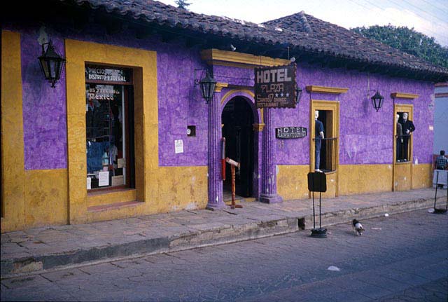
Antigua Guatemala: details of avenida 5 norte

RapuaNui
Rano Kau and the Village of Orongo
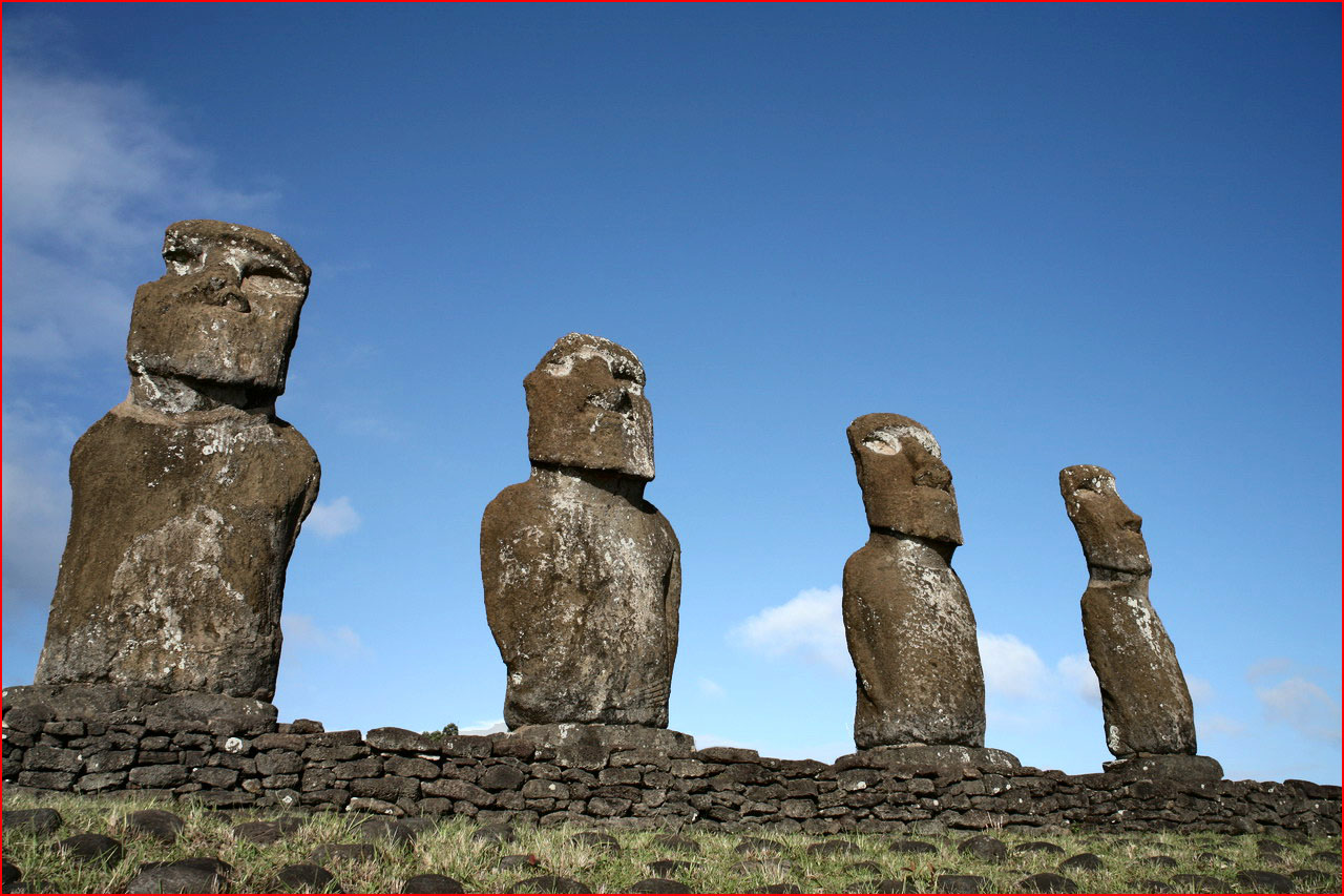
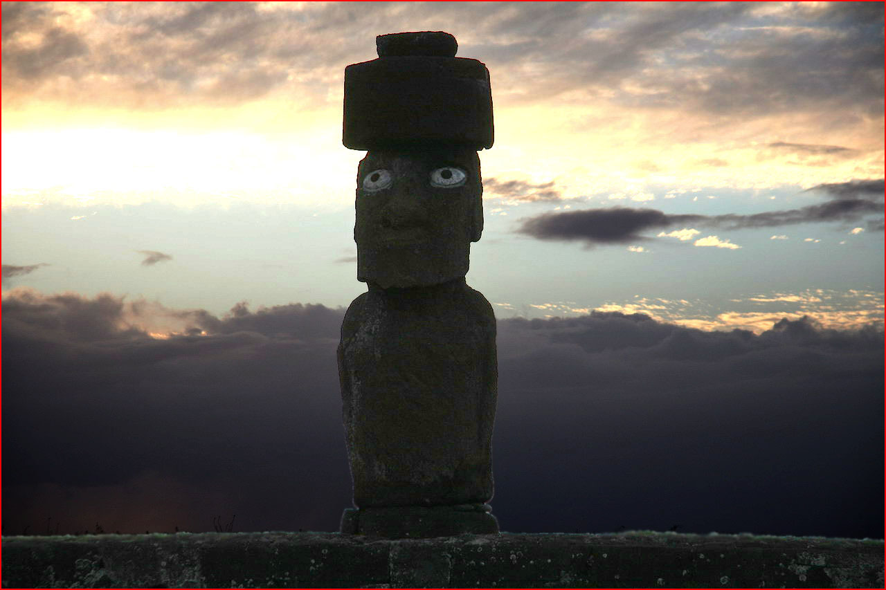
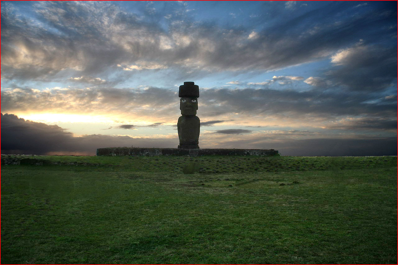
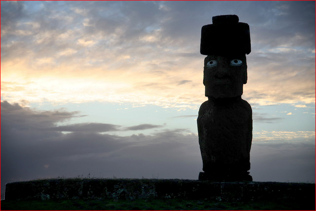
Rapua Nui, Easter Island, represents in the collective imagination an almost unreachable destination, one of the most isolated places in the world, a living museum 4000 km from the Chilean mainland. It is triangular in shape, bounded at its corners by three extinct volcanoes. Its population is made up of Polynesians of Maori stock. The island is energy, magic, a force that envelops you as soon as you set foot on it. It is a wonder to find oneself balanced on this rock in the middle of the ocean. The land can be gradually discovered and explored by various means: by car, on horseback, by bicycle, on foot. Easter Island has no coral reef, so its coasts are continually eroded by the action of the sea. The Moai, enigmatic sculptures, fill the days; they are found everywhere, in all sizes and with very varied expressions, some rather comical. All the moai standing upright have been restored through international cooperation. They are silent and mysterious company. There are many theories about the moai, their meaning and their origin, but all are more or less tied to legend and therefore mysterious. The ancient sculptures of Rapa Nui, the moai, are similar to one another, but very few of them are identical. Once completed, the moai was transported and placed on the ahu, the ceremonial platform which most of the time served as a pedestal for the statue. The moai were adorned with reddish headdresses, the cylindrical pukao. The island and its historic stone inhabitants are simply enchanting. Click on the image to enlarge it
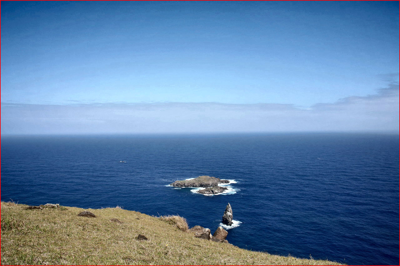
Undoubtedly one of the most famous sights of the whole island: Rano Kau is a lake filling the crater of a volcano, full of floating reed beds and brightly coloured flowers. A short distance away stands the ceremonial village of Orongo, now almost completely restored, which offers an enchanting view towards various parts of the island. In ancient times Orongo was the setting for the ceremony to appoint the Birdman, the cult of Makemake, visible on some rocks with reliefs of the Ombre Paquero. Opposite Orongo lie the islands of Motu Nui, Motu Iti and Motu Kao Ka.


Ahu Akivi
Inland there are seven moai, restored in 1960, which, unlike the others, are the only ones facing the sea. Their function, like that of all moai, was to protect and therefore watch over the village and the ceremonial area. According to archaeologists, the sea is only by chance within their field of vision. During the equinoxes these statues look directly towards the sunset.
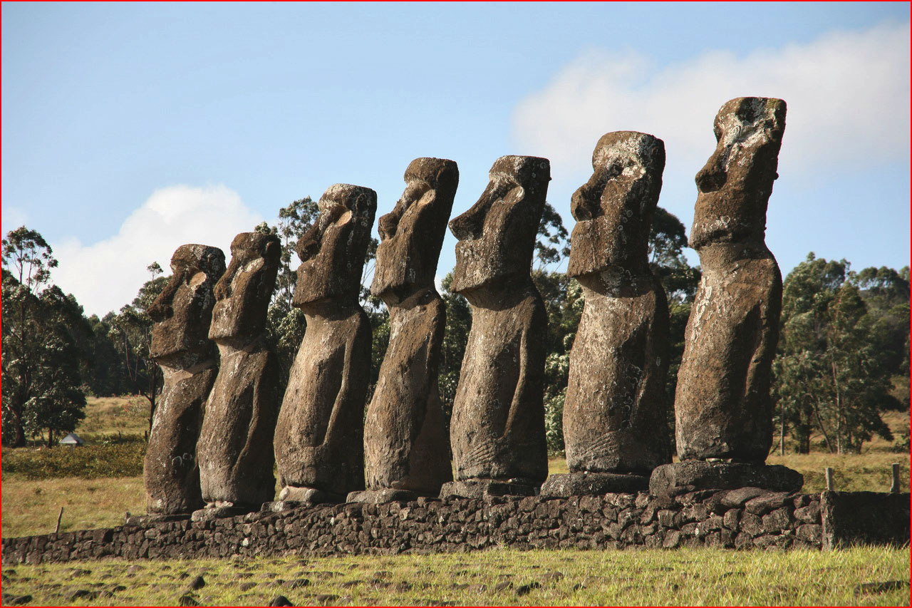
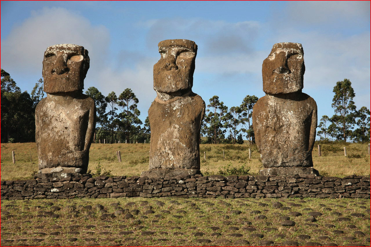

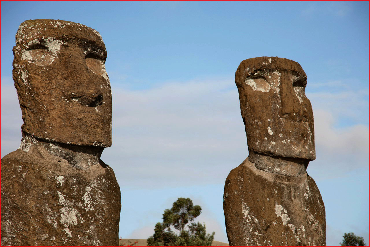
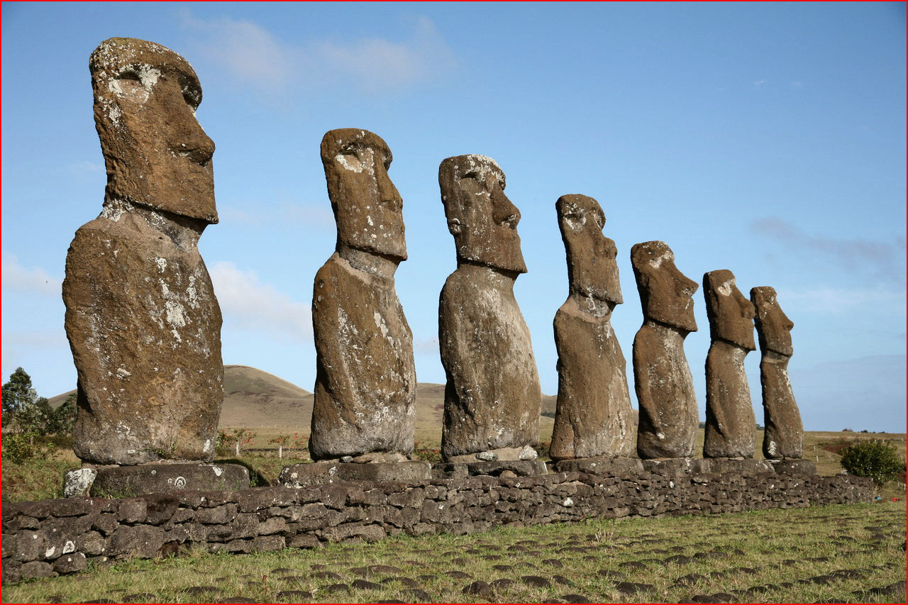


Ahu Tahai and Ahu Akapu
In the centre of Hanga Roa, the capital of Rapa Nui, there is a very evocative site by the sea: Hau Tahai, on which stands a solitary moai without a headdress. Not far away, at Ahu Vari Uri, lie five moai of different shapes and sizes. On the opposite side stands the imposing Ahu Ko Te Riku, a moai with a headdress and round, staring eyes. The picturesque cemetery of Hanga Roa overlooks the sea


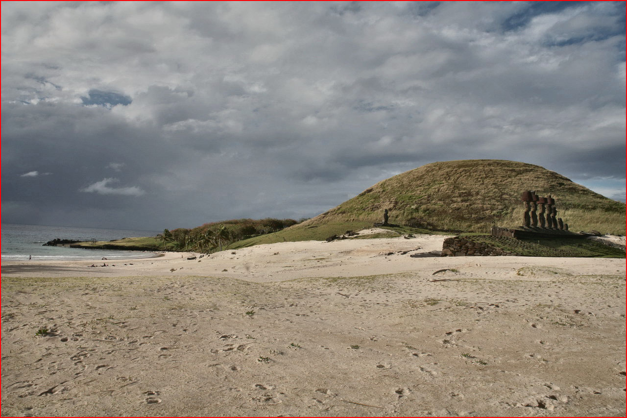
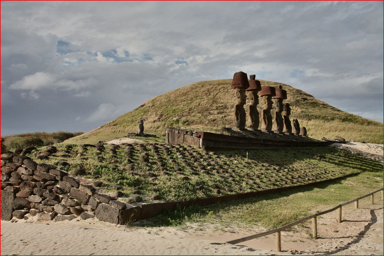
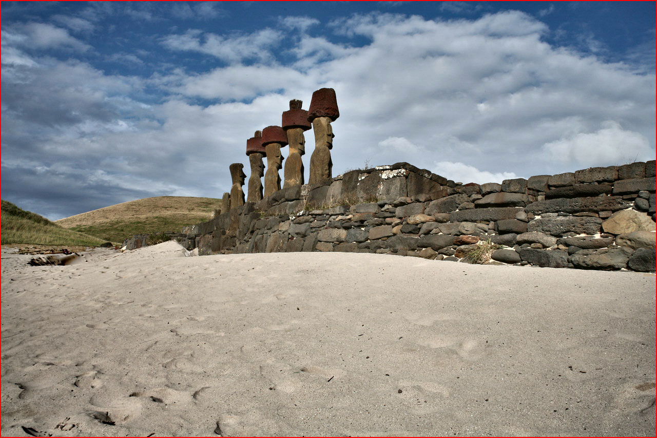
Anakena and Ahu Nau Nau
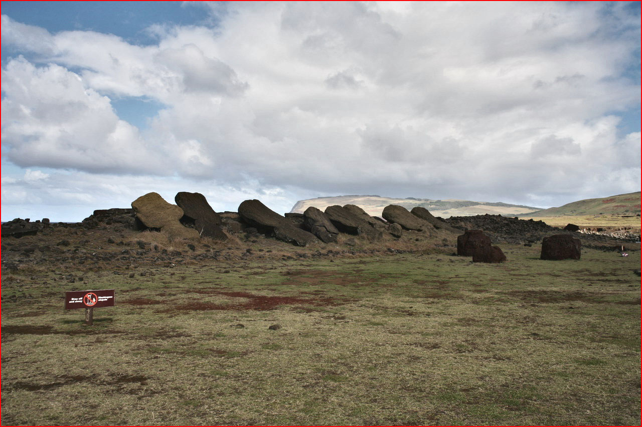
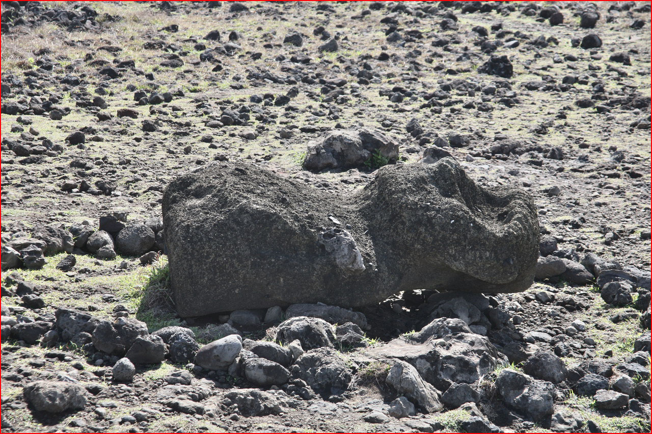
Everywhere on the island, you can see moai standing or lying, face down, often with their headdress not far away, and all around the ocean breeze gently caressing them.
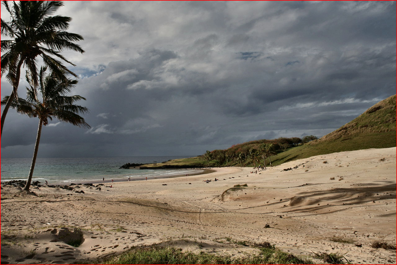
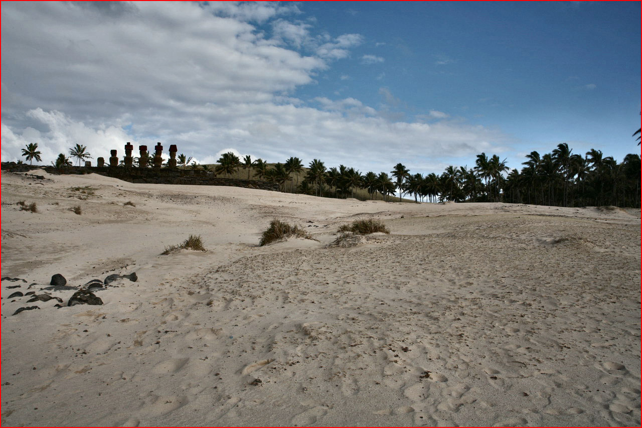
But there is no lack of the classic beauty of coast and white beach: Anakena, fringed with lush green palms, is the largest beach on Rapa Nui. Here stands Ahu Ature Huki, an archaeological site with a solitary moai, set upright again thanks to the cooperation of the islanders. And then Ahu Nau Nau, seven marvellous statues which, during the excavations, revealed to archaeologists that the moai were not blind but had precious eyes inlaid with coral. Four of them even have their headdress, while others are by now reduced to mere torsos.

Ranu Raraku
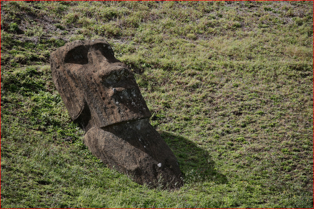
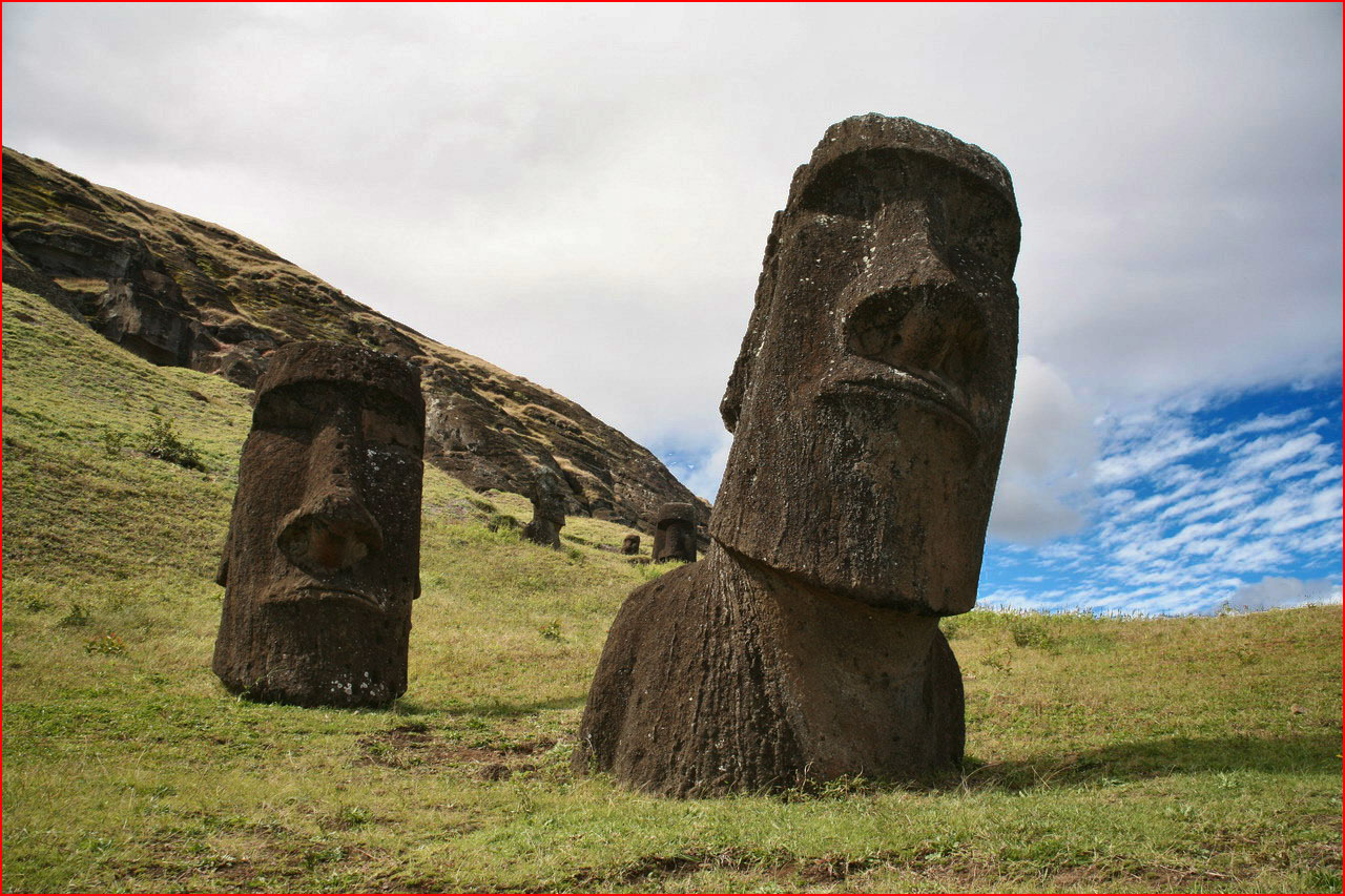
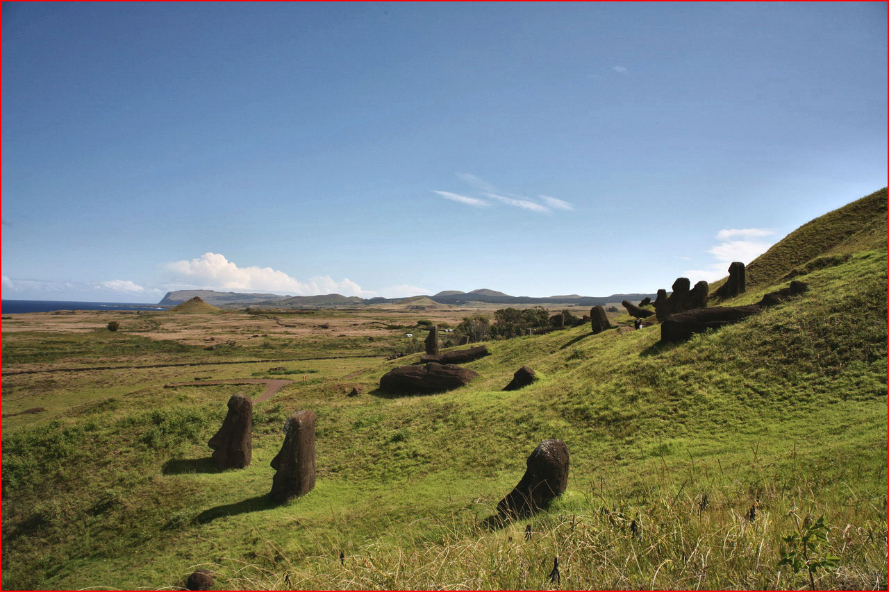
Nicknamed “the nursery” or “the forge” of the moai, the volcano is the quarry where the blocks of tuff used to carve the moai were extracted. The walk to the summit winds among dozens and dozens of statues, some completed, others left along the transport route, others still carved into the mountain. Among these, the largest moai of all is a full 21 metres high. Inside the crater sleeps a small lake, on whose slopes stand dozens of upright moai. It is estimated that there are more than 500 of them at this archaeological site. The place is fascinating, full of energy and mystery.







Ahu Tongariki
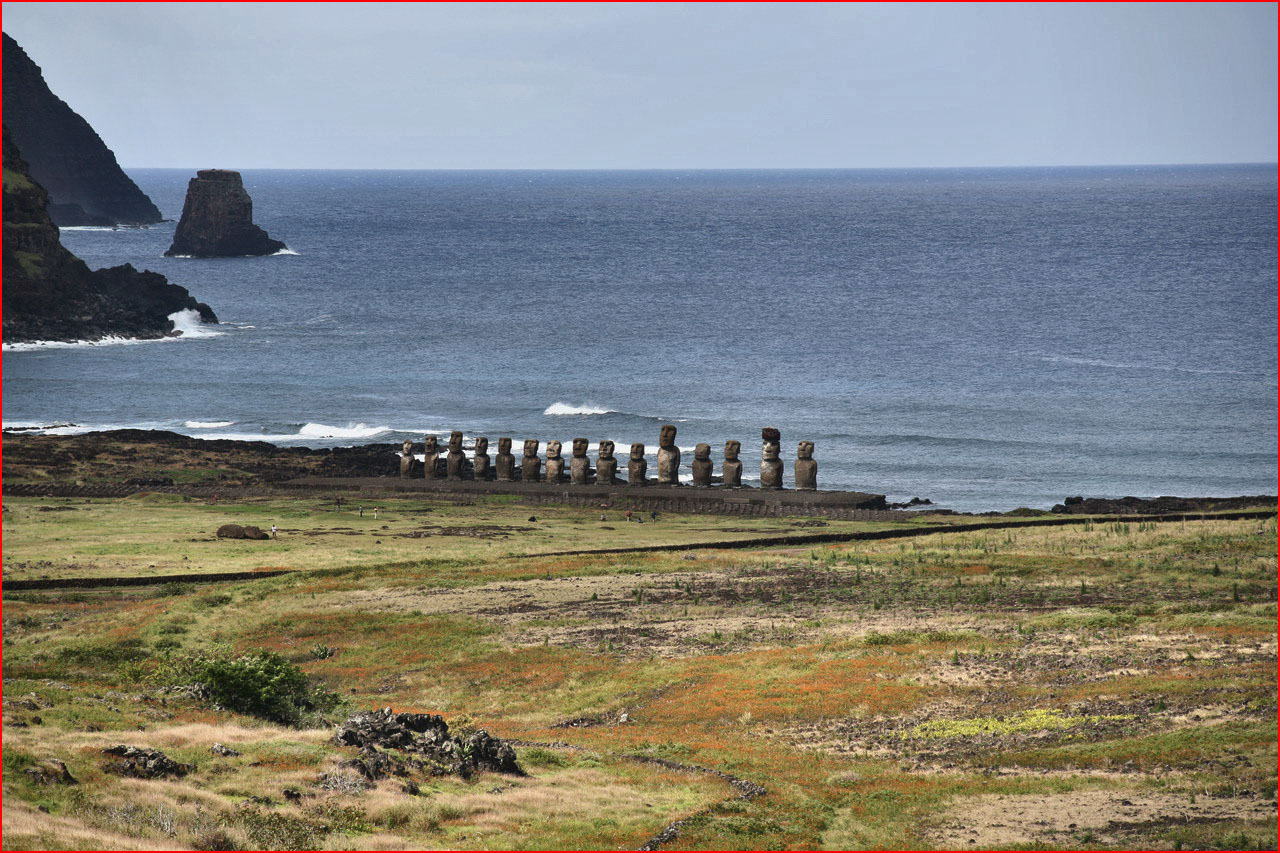
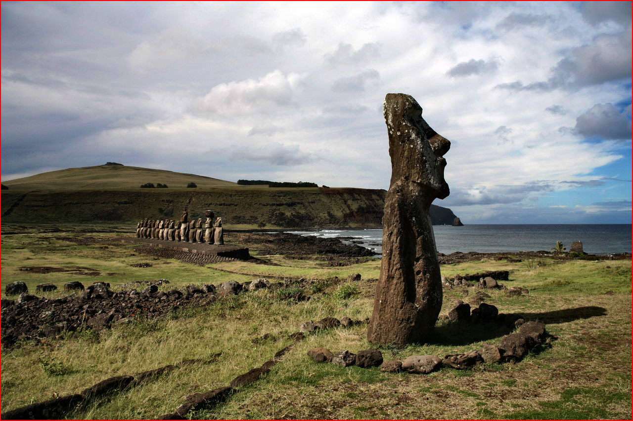
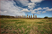
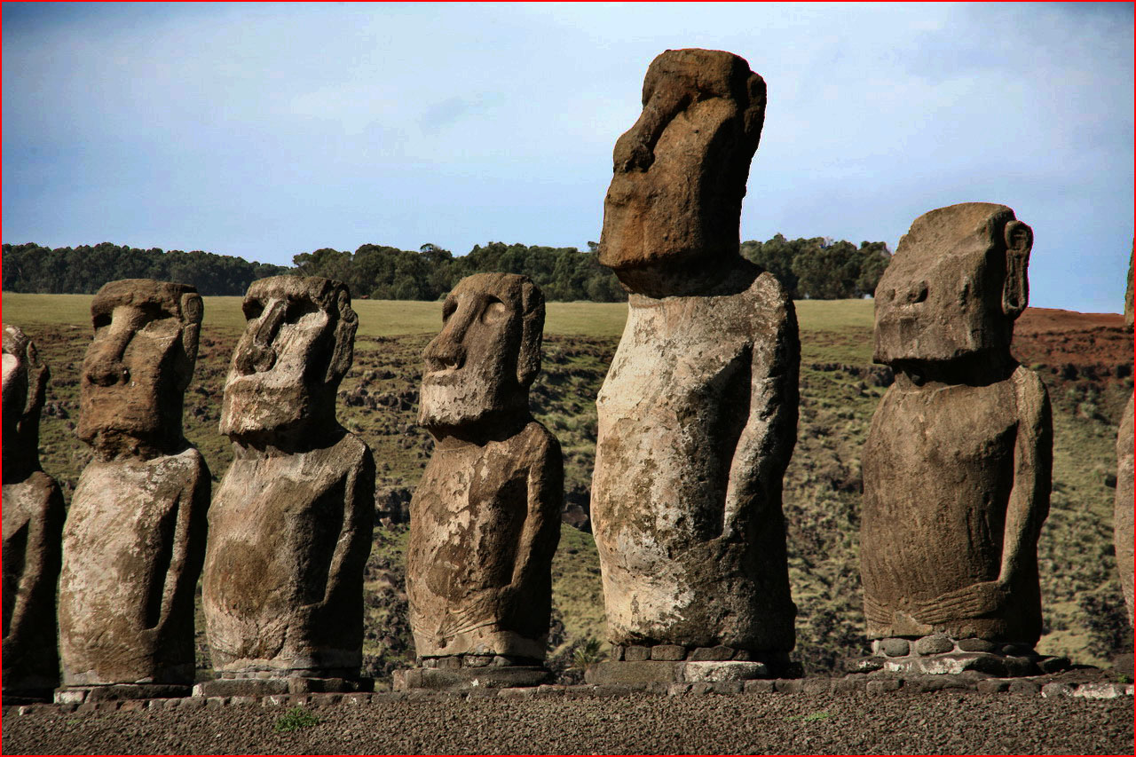
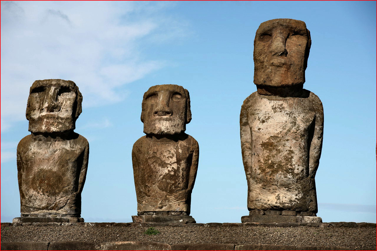
One is left speechless before the fascinating beauty of this archaeological site. The monumental ahu is the largest ever built. Thanks to a Japanese company, no fewer than 15 moai have been restored and set upright again, after a tsunami in 1960 had toppled them. Only one of them has had its headdress put back.





Ahu Te Pito Kura
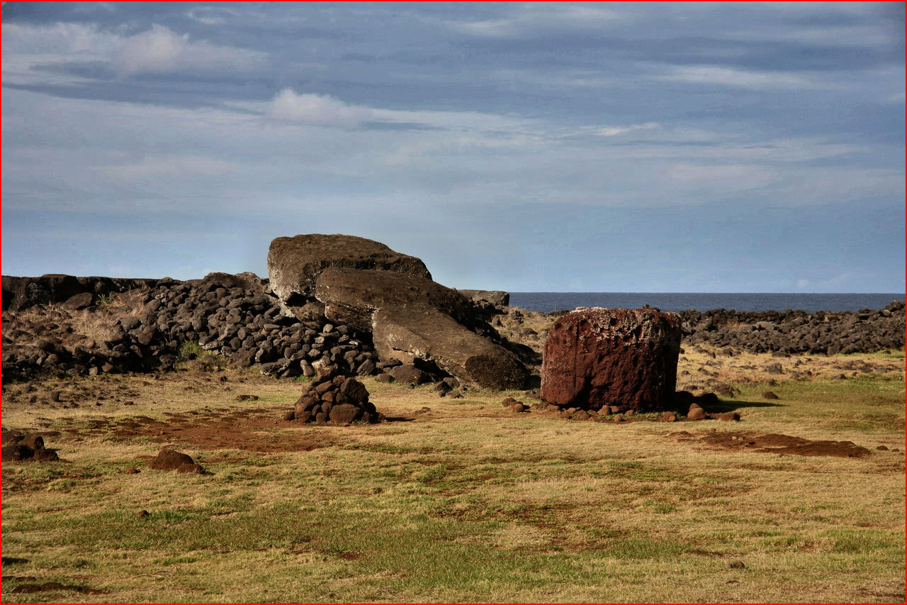
On the northern coast of the island, in the bay of Bahia La Perousse, stands one of the largest moai, ever transported from the quarries of Rano Raraku. The statue lies face down on the ground and is more than 10 metres long, with an oval headdress instead of a round one like the others. Legend has it that the moai was commissioned by a widow, who wished to honour her late husband.
Not far from the ahu is a stone called Te Pito Kura, which means the navel of the world. According to legend, it, white and roundish, with strong magnetic properties, was brought by Hotu Matua himself as a symbol of the centre of the universe.


Maunga Terevaka
The highest point on the whole island. From here there is a breathtaking 360° view of the horizon, over the vastness of the ocean.


